Products
From Finding the Point to Automating the Work.
PRECISE builds the full stack of high-precision hardware for surveying, construction, and agriculture: GNSS receivers that fix a position, 3D scanners and total stations that capture and measure space, and guidance and autopilot systems that put that position to work in the cab, on the machine, or in the air. Every product below shares the same positioning core. What changes is where that position gets used: on a survey pole, on a scanner, on an excavator, on a tractor, or on a drone.
Product Categories
Browse by Product Category

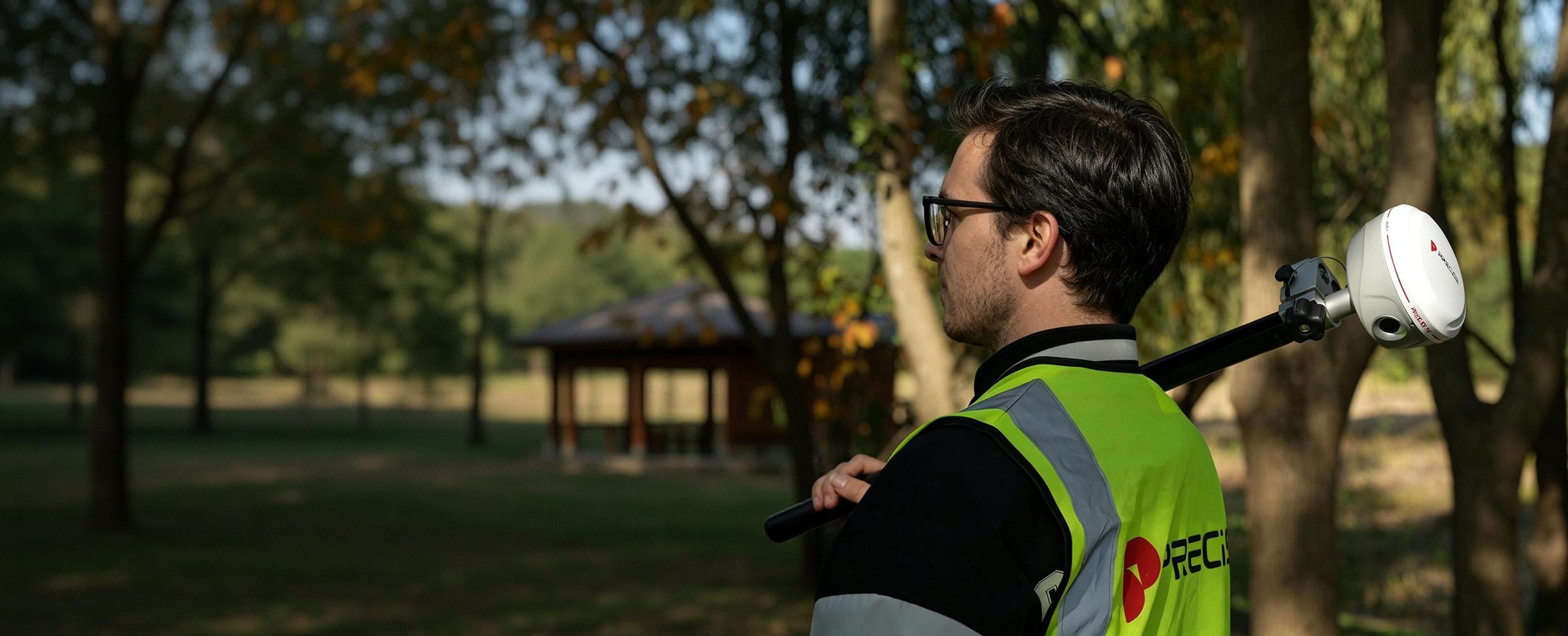
GNSS Receivers & Accessories
The core positioning layer: RTK rovers, a portable base station, a structural monitoring receiver, and the antennas, radios, and rugged handhelds that support them.
Explore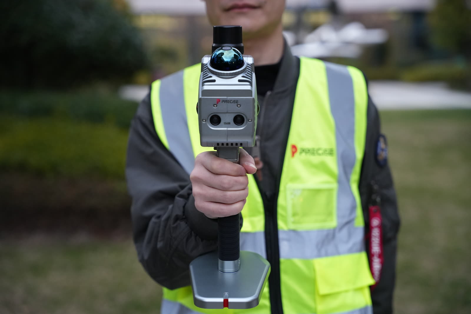
3D Scanners
Handheld SLAM LiDAR scanners that capture survey-ready, georeferenced point clouds, including complex, feature-poor, or GNSS-limited spaces.
Explore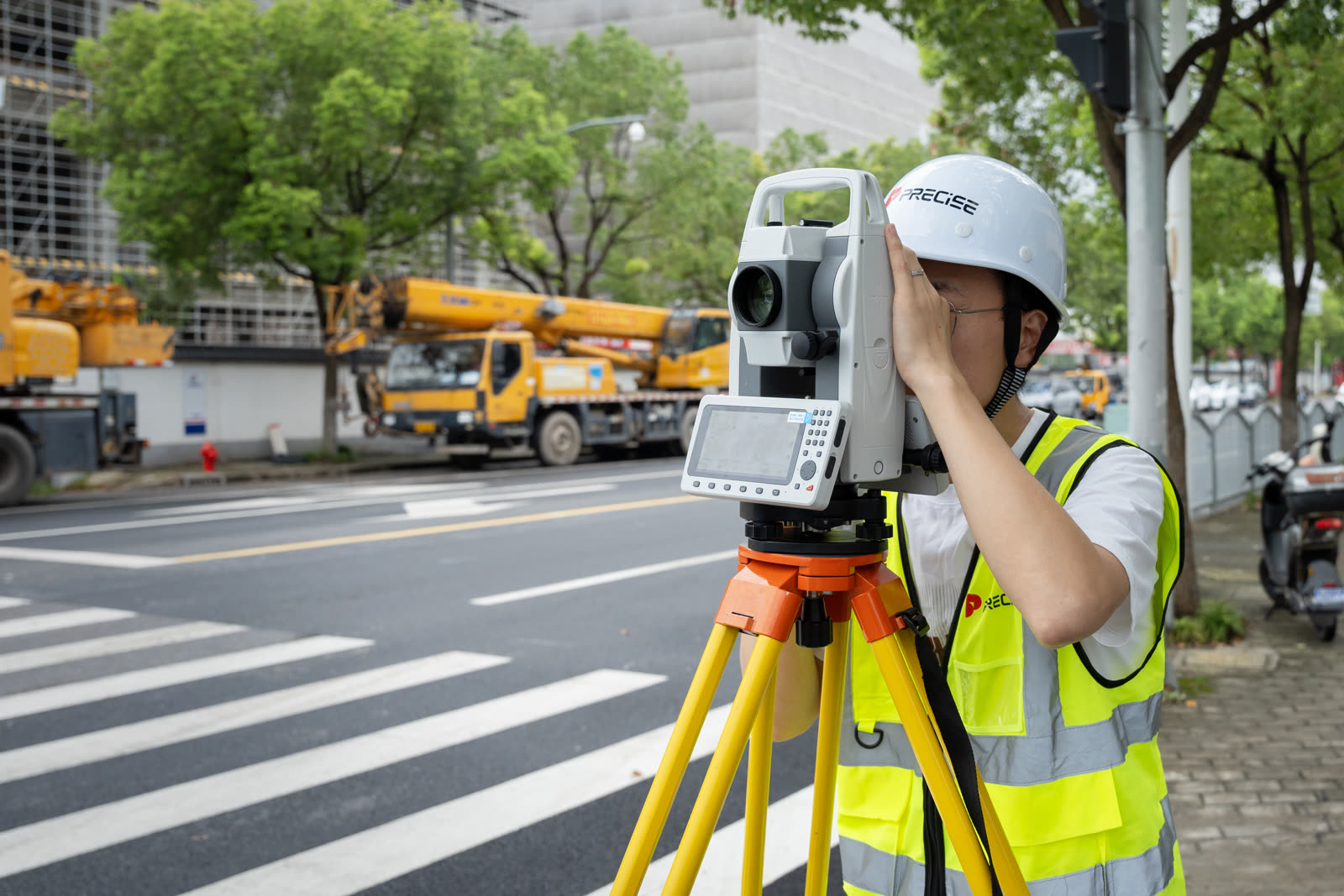
Total Stations
Mechanical total stations for angle and distance measurement: one on a full Android platform, one built around traditional, direct operation.
Explore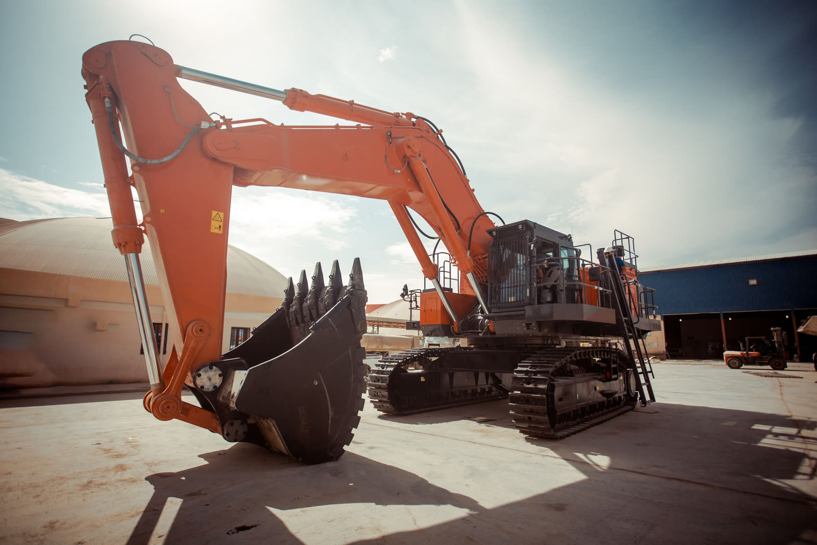
Machine Guidance
A 3D guidance system that shows an excavator operator, in real time, exactly where the bucket is relative to the design grade.
Explore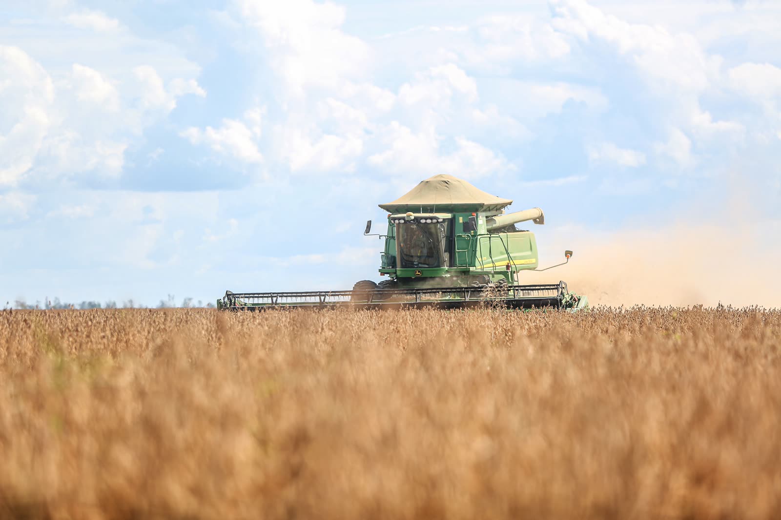
Precision Agriculture Autopilot
Auto steering systems that hold a tractor or farm machine to a planned line, pass after pass, full-feature to fast-retrofit.
Explore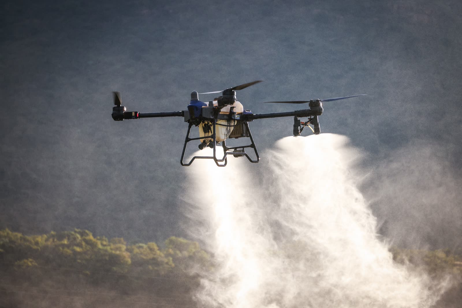
Agricultural Drones
Drones for spraying, spreading, mapping, and short-distance aerial transport, from portable platforms to heavy-lift, multi-role aircraft.
ExploreCompare by Task
Already Know the Job? Start There Instead
If you're starting from a job you need to get done, such as laying out a construction site, guiding an excavator to grade, running a farm's ground and aerial operations, or capturing a space in 3D, the Solutions section groups the relevant PRECISE products into one complete workflow for that task, instead of asking you to piece it together from individual product pages.
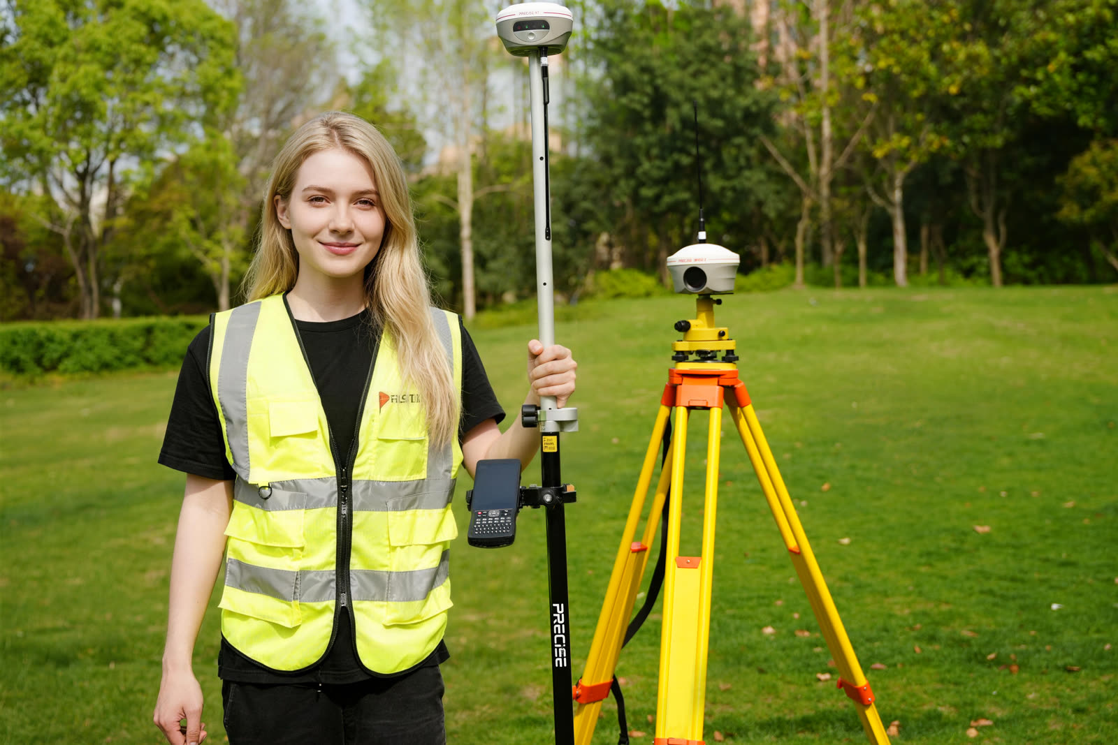
Surveying & Mapping
Control, RTK measurement, tilt survey, stakeout, structural monitoring, and total station work.
Explore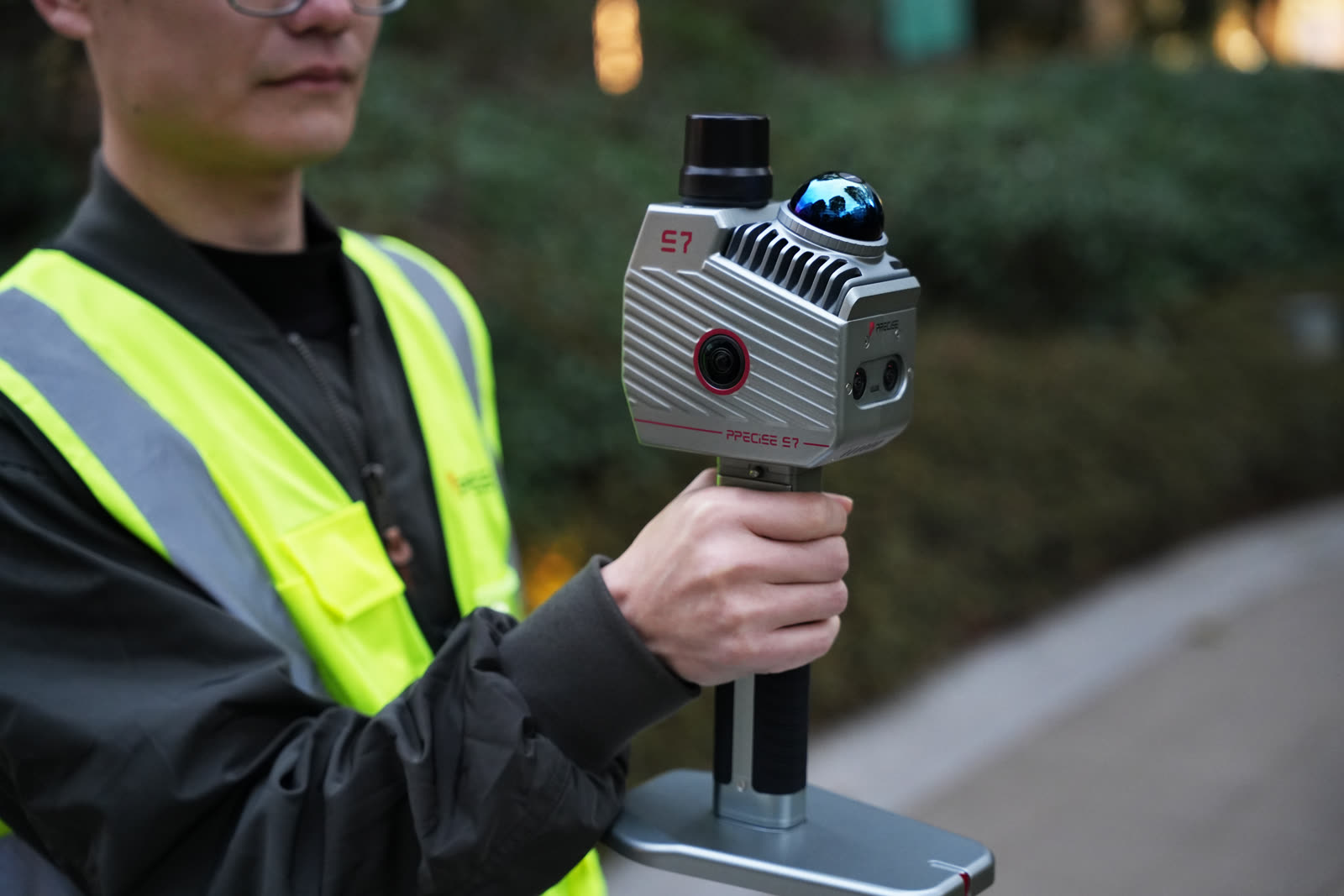
3D Reality Capture
Turns physical space into a usable, georeferenced 3D point cloud, even where GNSS is unavailable.
Explore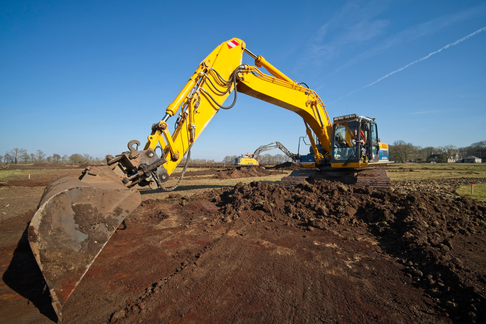
Construction
Guides excavators to design grade in real time, without a second person checking grade.
Explore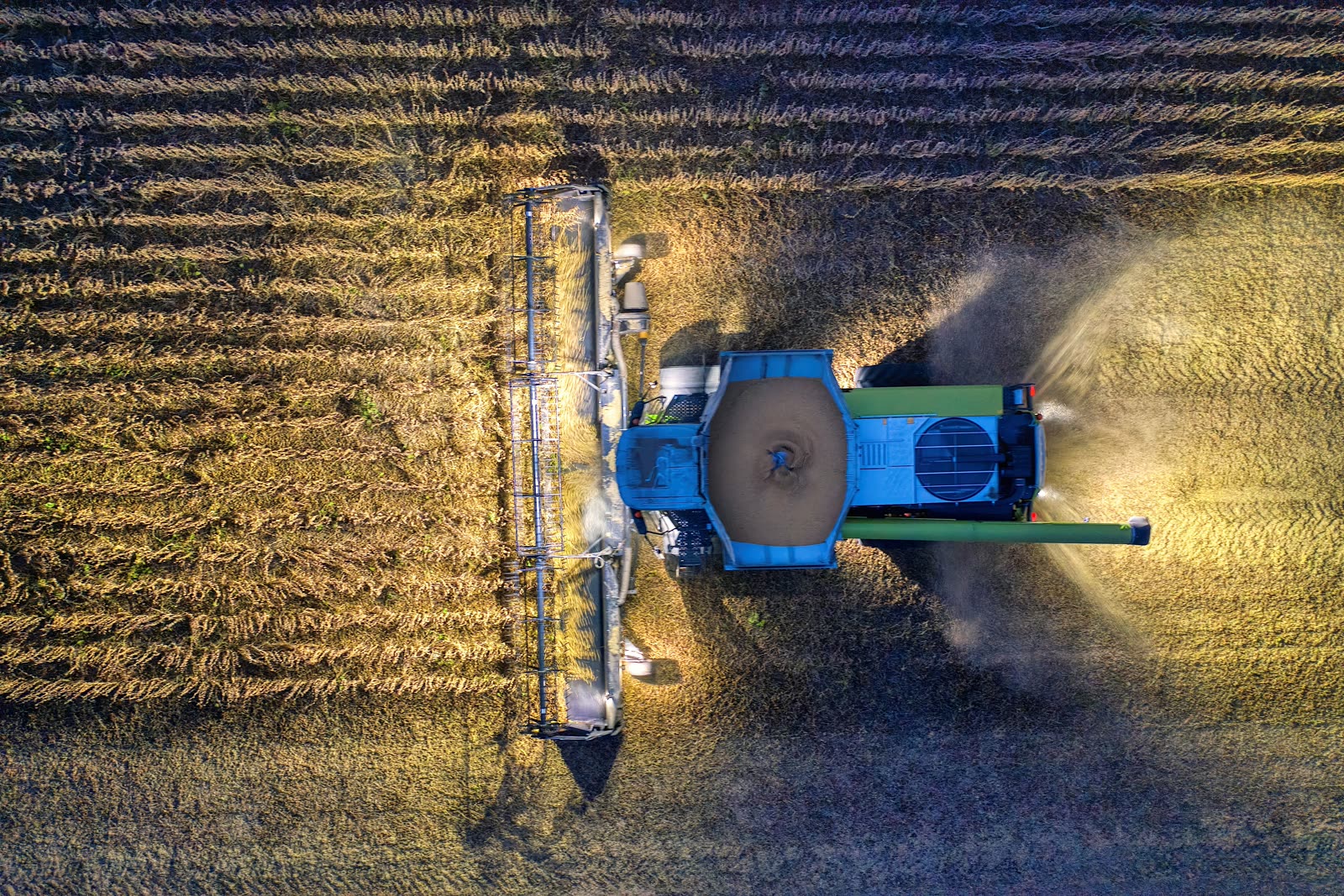
Precision Agriculture
Automated steering that keeps tractors and implements on line, pass after pass.
ExploreNot Sure Where to Start? Talk to PRECISE.
Tell us the job you're trying to get done, and we'll help you match it to the right product, or the right combination of products.