Solution
From control point to stakeout mark: one product line, every step.
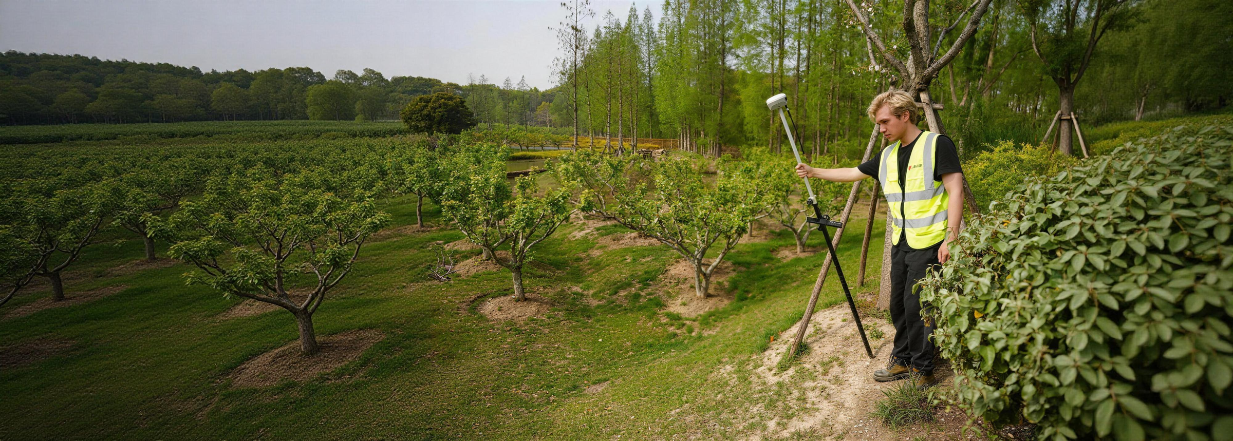
Surveying and construction layout work moves through the same stages on every project: establish control, measure the site, stake out the design, and deliver the data. PRECISE builds RTK receivers, base stations, monitoring receivers, and total stations that cover each of those stages, including the points a standard setup can't reach and the sites where GNSS doesn't work at all.
Recommended Products
What to Use
Typical Tasks
What This Covers
Establishing Control
Setting up a local base station or permanent reference point when CORS/NTRIP coverage is missing, unreliable, or not project-controlled.
RTK Measurement & Tilt Survey
Topographic and boundary survey, including points next to walls, curbs, slopes, and ditches where a pole can't stand vertical.
Reaching Points a Pole Can't Occupy
Measuring across a ditch, up a retaining wall, or near a hazard without a second setup.
AR/Laser-Guided Stakeout
Placing design points accurately on open sites or in dense point layouts.
Structural Monitoring
Continuous, unattended position tracking on bridges, dams, and precision structures.
GNSS-Denied & Long-Range Measurement
Tunnels, indoor spaces, and high-accuracy long-range work with a total station.
Extending Correction Range
Keeping the RTK link alive across large sites, long corridors, and remote areas.
Field Challenges
What Gets in the Way
Point Conditions Vary Every Setup
Some let you plant the pole normally, others (against a wall, over a ditch, on a slope, behind an obstacle) won't let it stand vertical, and a few, like a point on a cliff face or near a high-voltage structure, can't be occupied at all.
Sky Visibility Isn't Guaranteed
Tree canopy, urban canyons, and partial sky visibility make some receivers wait longer for a stable fix or lose it altogether, and tunnels and indoor spaces have no sky view for GNSS to work with at all.
No Network, No Correction
Rural and mountainous project sites may have no CORS network and patchy cellular coverage, and projects that need an independent, project-controlled correction source can't rely on third-party network services to begin with.
Dust Skews the Angle Reading
Dust and condensation on a total station's encoding disc, common in tunnels and on dusty road corridors, is a real source of angle-reading errors, not just a durability concern.
A Different Duty Cycle Entirely
A structural monitoring installation has to keep tracking continuously and unattended through weather and time for years, not a day, a fundamentally different duty cycle from a rover carried on a pole.
Data Has to Travel With the Site
Project files, CAD drawings, and measurement results have to travel between the field and the office through whatever connection (network, radio, USB) the site actually has.
Workflow
How the Job Gets Done
Establish Control
Set up your correction source: a portable base station for a project-controlled RTK network, a permanent monitoring receiver for a structure that needs continuous tracking, or an external radio to extend range on a large site.
Measure
Survey the site with an RTK rover matched to your point conditions: standard RTK, tilt survey around obstructions, or laser measurement for points you can't physically reach.
Stake Out
Place design points using AR-guided stakeout, reading direction in the live camera view instead of translating numbers on a screen into a direction on the ground.
Deliver Data
Move project files and results in and out of the field through whatever connection the site has (network, radio, or USB), using a rugged field controller where useful. For GNSS-denied sites or very long-range prism work, the workflow shifts to a total station instead of GNSS RTK; see Recommended Products below.
Selection Guidance
If Your Project Is...
No Reliable CORS/NTRIP
You need a project-controlled correction source, not dependent on a network you don't control.
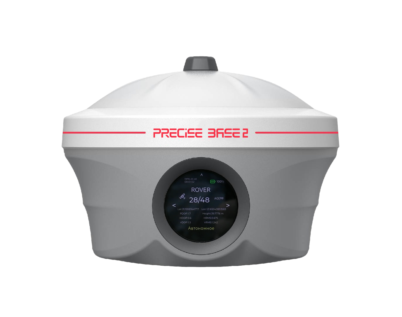
BASE2
Portable, for temporary/multi-day projects
Unattended Structural Monitoring
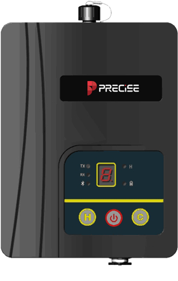
Continuous, unattended position tracking on a bridge, dam, or structure, not daily fieldwork.
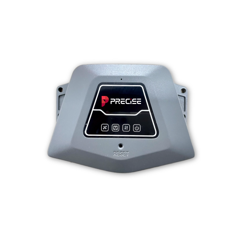
C
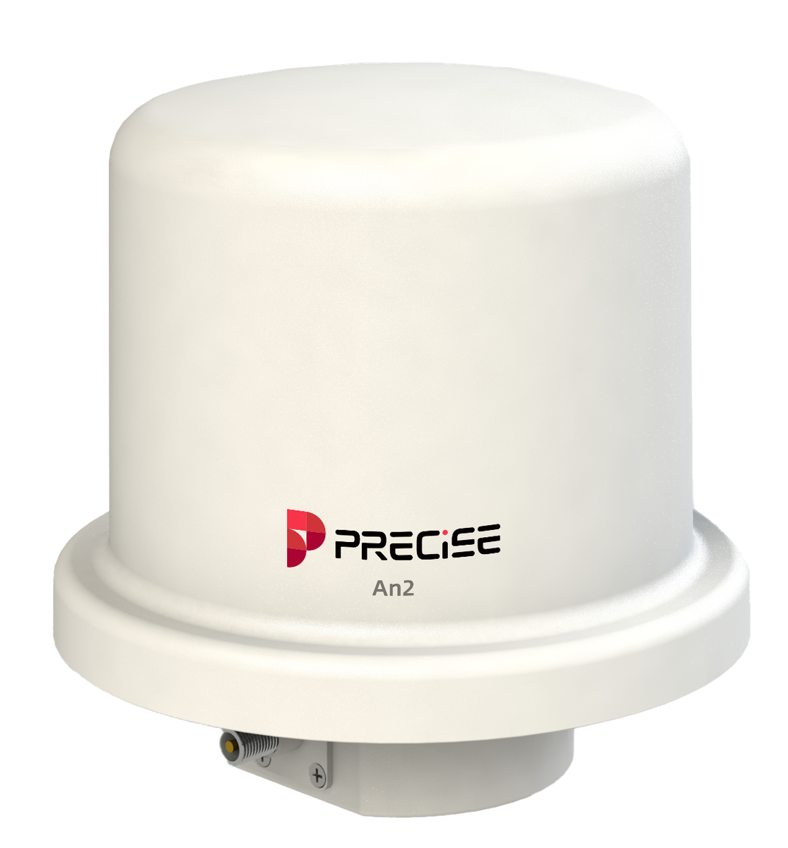
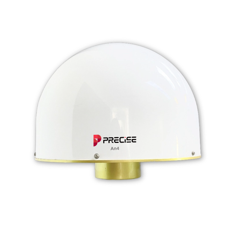
Paired with AN2 or AN4
Radio Range Falls Short
The built-in radio doesn't reach across a large site or long corridor.
PL2
Added to your existing base/rover
Everyday RTK & Tilt Survey
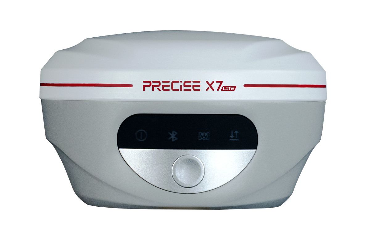
Standard RTK survey and tilt measurement, day in and day out.
X7 Lite
Points a Pole Can't Reach
You regularly can't physically reach a point with a pole (ditches, walls, hazards).
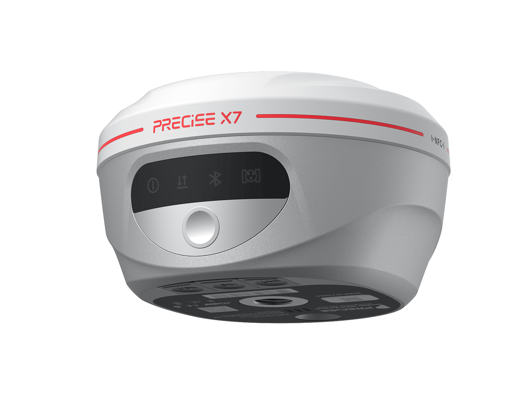
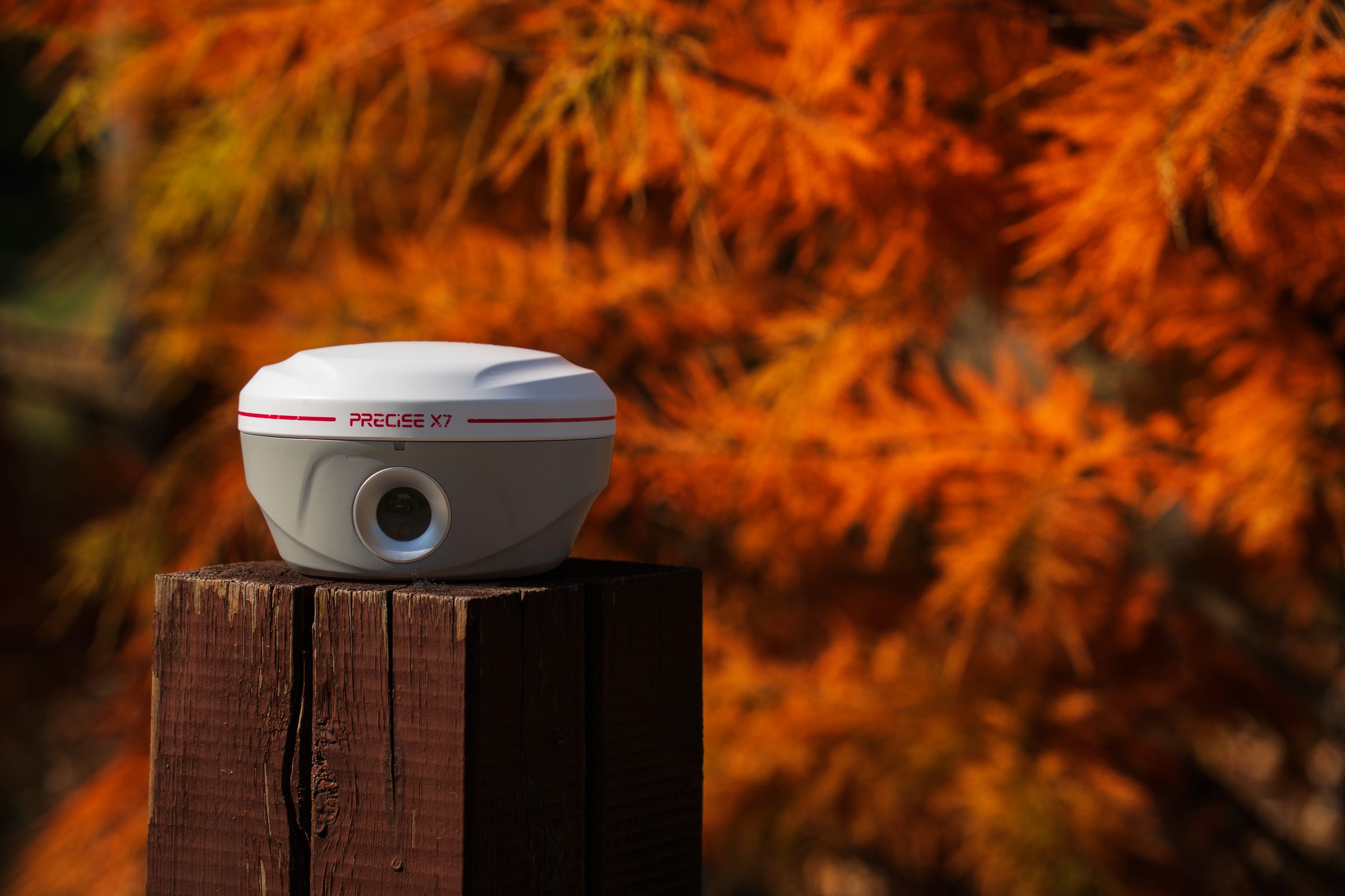
X7
Laser + tilt + AR
Canopy & Remote-Site Fix
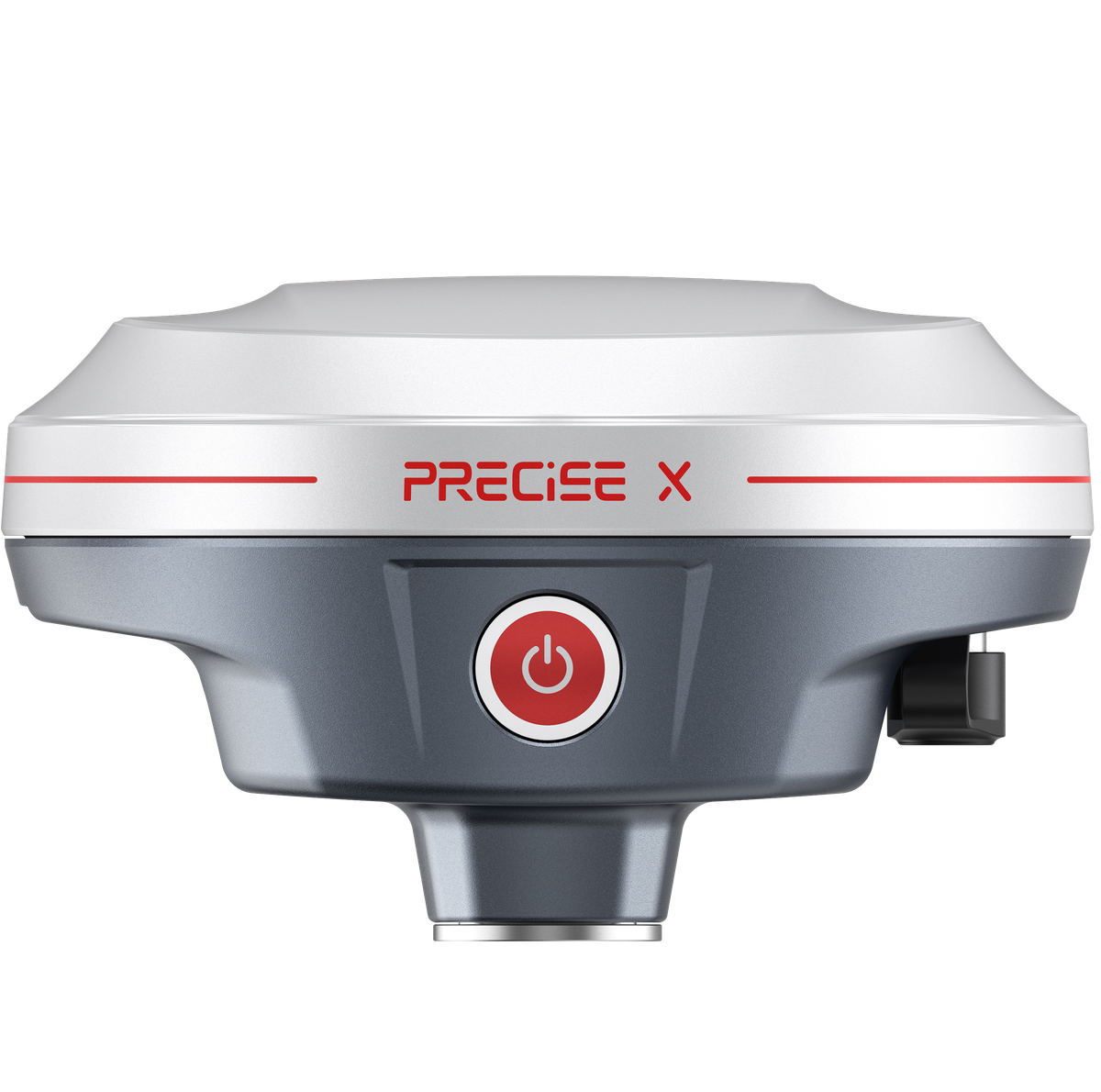
AR-guided stakeout plus better fix performance under canopy and PPP for remote sites.
X
Rugged Field Controller
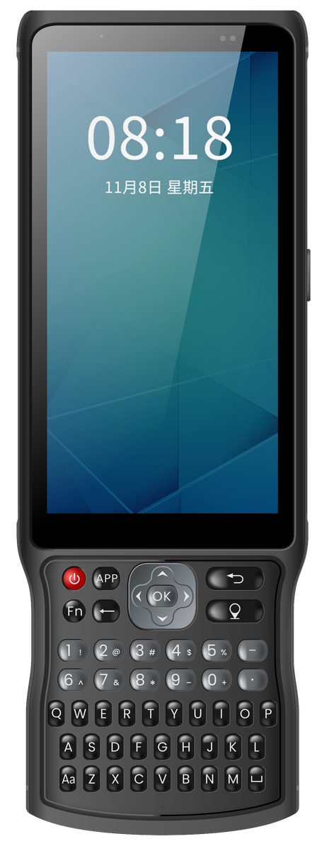
You need a rugged field controller to pair with your receiver or total station.
PC3
No Sky View / Long-Range Prism
No sky view at all (tunnel, indoor, GNSS-denied), or very long-range prism control work.
T3 or T3 Lite
Total station
On-Instrument CAD & Open Apps
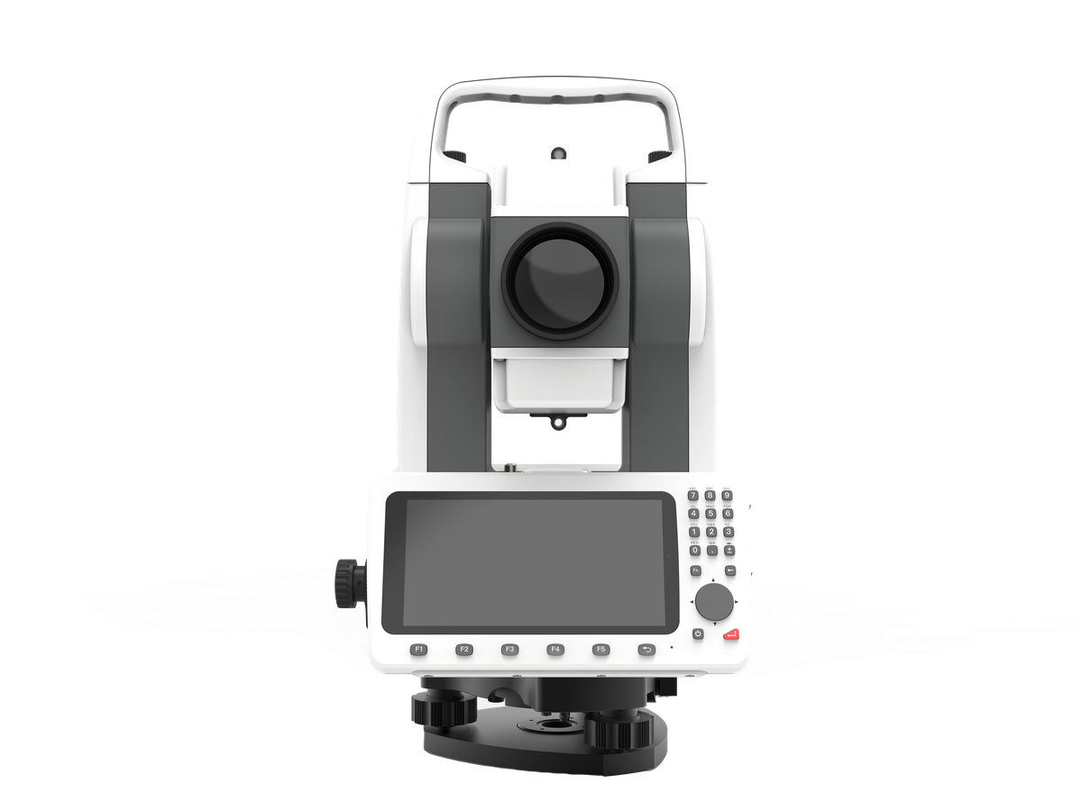
You want an Android platform with on-instrument CAD and open third-party apps.
T3
Dependable in Harsh Conditions
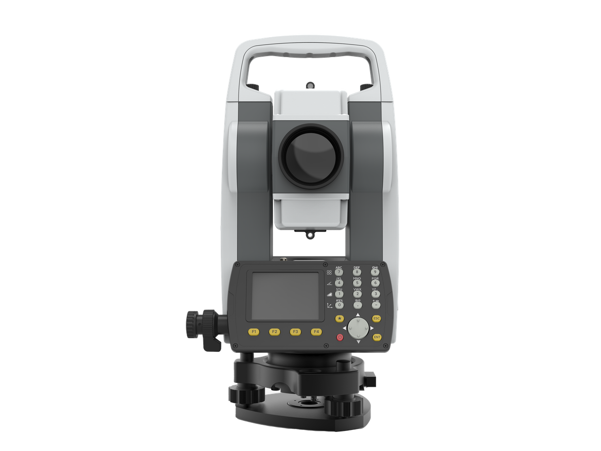
Traditional, dependable operation in dust, moisture, or harsh site conditions.
T3 Lite
Customers
What Our Customers Are Saying
Somchai Rattanakul
Thailand
“Our farmland is spread over several kilometers, so we used to relocate the base two or three times. With the BASE2, one setup covers the entire area, and the FIX stays stable even near trees or irrigation structures. It's made our mapping work noticeably easier.”
Diego Fernández
Chile
“Our dam site has almost no shelter for electronics, so being able to mount the receiver away from the antenna, somewhere we can actually service it, made the whole installation practical.”
Mateo Fernández
Peru
“We monitor micro-deformation on a dam site, and the AN2's phase center stability under 2 mm has kept our baseline calculations consistent month after month. That's exactly what a monitoring project needs.”
Carlos Rojas
Colombia
“Every rover on our CORS network depends on our reference antenna, and the AN4's ±1 mm phase center stability means we're not passing systematic error downstream. Our baseline results have never been more consistent.”
FAQ
Common Questions
If most of your fieldwork is standard RTK and tilt survey around obstructed points (walls, curbs, slopes), X7 Lite covers that with calibration-free ±60° tilt survey and a full day of battery life. Move up to X7 only if your projects regularly include points you can't physically reach with a pole at all (across a ditch, up a retaining wall, near a high-voltage structure), since that's what X7's 70 m laser is built to solve.
Two options depending on the project. BASE2 lets you set up your own portable RTK base and broadcast corrections up to 30 km in open terrain, good for temporary or multi-day projects. PRECISE X also includes a worldwide PPP correction service as a built-in alternative for remote areas without local infrastructure.
When there's no usable sky view (tunnels, indoor spaces, dense urban canyons), or when a project needs very long-range prism-based control work. T3 and T3 Lite both operate independently of satellite signals, with single-prism ranges up to 5,000 m (T3) and 4,000 m (T3 Lite).
They're two different instrument architectures, not a high/low price tier. T3 runs a full Android platform on the instrument: CAD/DXF viewing, project data, and open third-party apps. T3 Lite keeps core angle and distance measurement on the instrument in a traditional keypad-and-screen format, with Bluetooth 5.0 to connect compatible third-party field apps when a project needs more. Choose T3 for graphics-rich, connected fieldwork; choose T3 Lite for direct, dependable operation in harsh conditions like tunnels and dusty road corridors.
They solve different problems. BASE2 is a portable rover-support base station for survey and construction projects that need their own temporary or mobile RTK coverage. C is a fixed-installation monitoring receiver, built to run continuously for months or years on a single structure. It's not a general-purpose RTK rover base.
Not necessarily. PC3 is a separate rugged Android field controller useful when a project needs a dedicated data-collection device: for point-name and code entry with a physical keyboard, or connecting to multiple pieces of field equipment. If your existing receiver or total station's onboard controls already cover your workflow, PC3 is an optional addition, not a requirement.
PL2 is built for exactly this. It's an external UHF radio with selectable 10 W or 30 W output that extends the correction link beyond what a built-in radio typically reaches, without changing your GNSS receiver or algorithm. Actual range still depends on terrain, antenna height, and local interference.
Get in Touch
Talk to PRECISE About Surveying & Mapping
Tell us about your project and we'll route it to the right PRECISE team.
- Sales: sales@precise-geo.com
- Support: support@precise-geo.com
Get the Right Receiver or Total Station for Your Site
Tell us your workflow and site conditions, and we'll help you match it to the right receiver, total station, or accessory.