
GNSS Receivers & Accessories
See exactly where to walk. Not just how far.
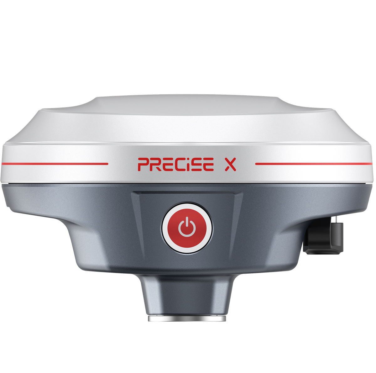
PRECISE X overlays your stakeout target directly onto the real-world camera view, combined with fast MATRIX positioning, calibration-free tilt survey, and full network/radio/PPP connectivity, so the everyday parts of RTK work go smoother from power-on to pack-up.
See It In Action
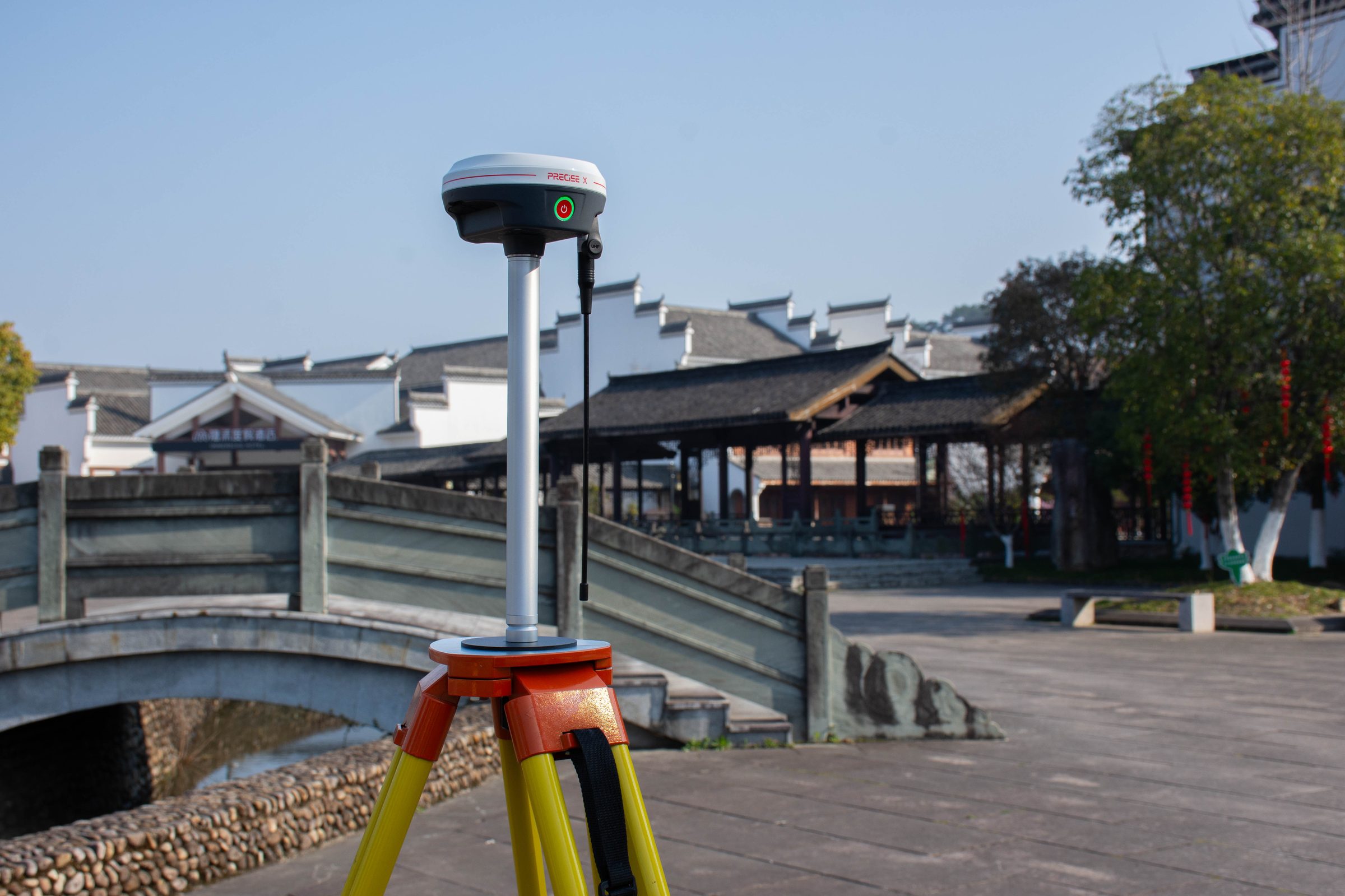
X in the Field
A professional RTK receiver built to remove friction from every step of the day: faster fixes, tilt survey without leveling, AR-guided stakeout, and a connection option for whatever the site actually has.
Challenge
Most professional RTK work isn't about one dramatic obstacle: it's about the accumulation of small friction points across a full day, waiting for a fix under tree cover, re-leveling the pole at every obstructed point, squinting at direction arrows on a small screen to figure out which way to walk for stakeout, and hoping the site has the network coverage your receiver expects.
Solution
PRECISE X addresses each of these directly. MATRIX positioning across 1,808 channels is built to reach and hold a fix faster in difficult conditions like tree canopy, and AR stakeout overlays the target point onto the live camera view, turning direction into something you see, not calculate. Calibration-free tilt survey and a full connectivity set (4G, UHF radio, PPP, Wi-Fi) round out a receiver built to adapt to the site, not the other way around.
Value
A single receiver that keeps the everyday parts of a survey day (fixing, tilting, staking out, connecting, lasting the full shift) moving smoothly, without separate tools or workarounds.
Key Benefits
Why X
1,808-Channel Multi-GNSS Tracking
Reach a dependable fix, even under tree canopy
Under tree canopy or partial sky visibility, the receiver reaches and holds a fix faster and more consistently than a system relying on fewer signal sources.
0
GNSS Channels Tracked
0
Frequency Points Supported
Tracks 1,808 channels across 21 frequency points spanning GPS, GLONASS, BeiDou, Galileo, QZSS, and SBAS. MATRIX positioning's scene recognition and satellite selection actively pick the most reliable satellites in view and validate ambiguity resolution before reporting a fix.
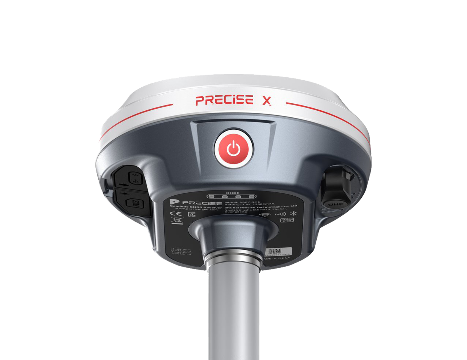
Calibration-Free IMU Tilt
Tilt survey without stopping to level the pole
Points next to walls, curbs, trees, and slopes (anywhere the pole can't stand vertical) get measured in the same motion as any other point, no calibration or re-settle wait.
<0cm
Tilt Survey Accuracy
0°
Maximum Tilt Angle
Quick initialization, immunity to magnetic disturbance, and better than 2 cm accuracy at up to 60° of tilt, with no field calibration required.
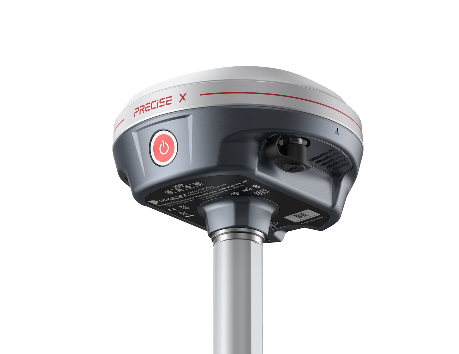
AR Camera Overlay
See the stakeout direction in the real scene
Instead of translating "1.2 m left, 0.6 m back" in your head, you see the target marked in the real scene, faster to read on open sites, in dense clusters, or when explaining a spot to the crew.
0MP
Camera Sensor Resolution
±0mm
RTK Horizontal Accuracy
A 2-megapixel CMOS imaging sensor overlays the design point and guidance data onto the live camera view. AR is a visual guide to walk to; final placement accuracy is set by the RTK fix (± 8 mm + 1 ppm horizontal), not the camera.
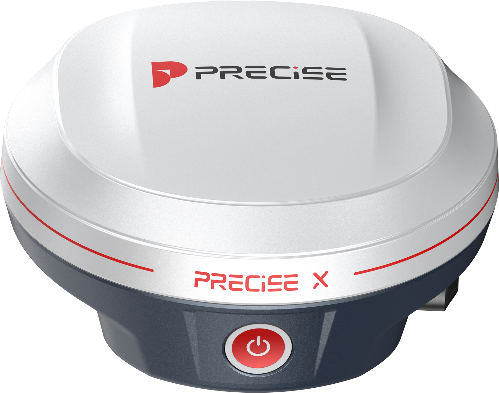
Multi-Mode Connectivity
Connect however the site actually works
Whether the site has strong CORS/NTRIP coverage, needs a local radio link, or is remote enough to need PPP correction, X adapts instead of requiring one specific setup. For longer radio links, the optional PL2 external radio extends range further.
0W
Built-in UHF Radio Power
410-470MHz
UHF Radio Frequency Range
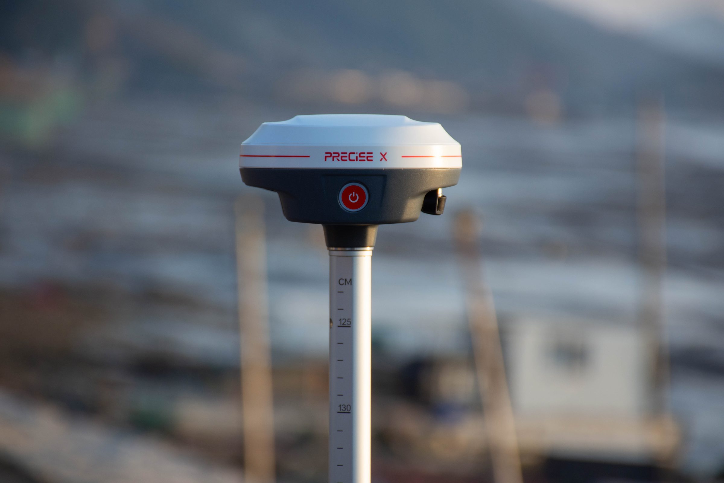
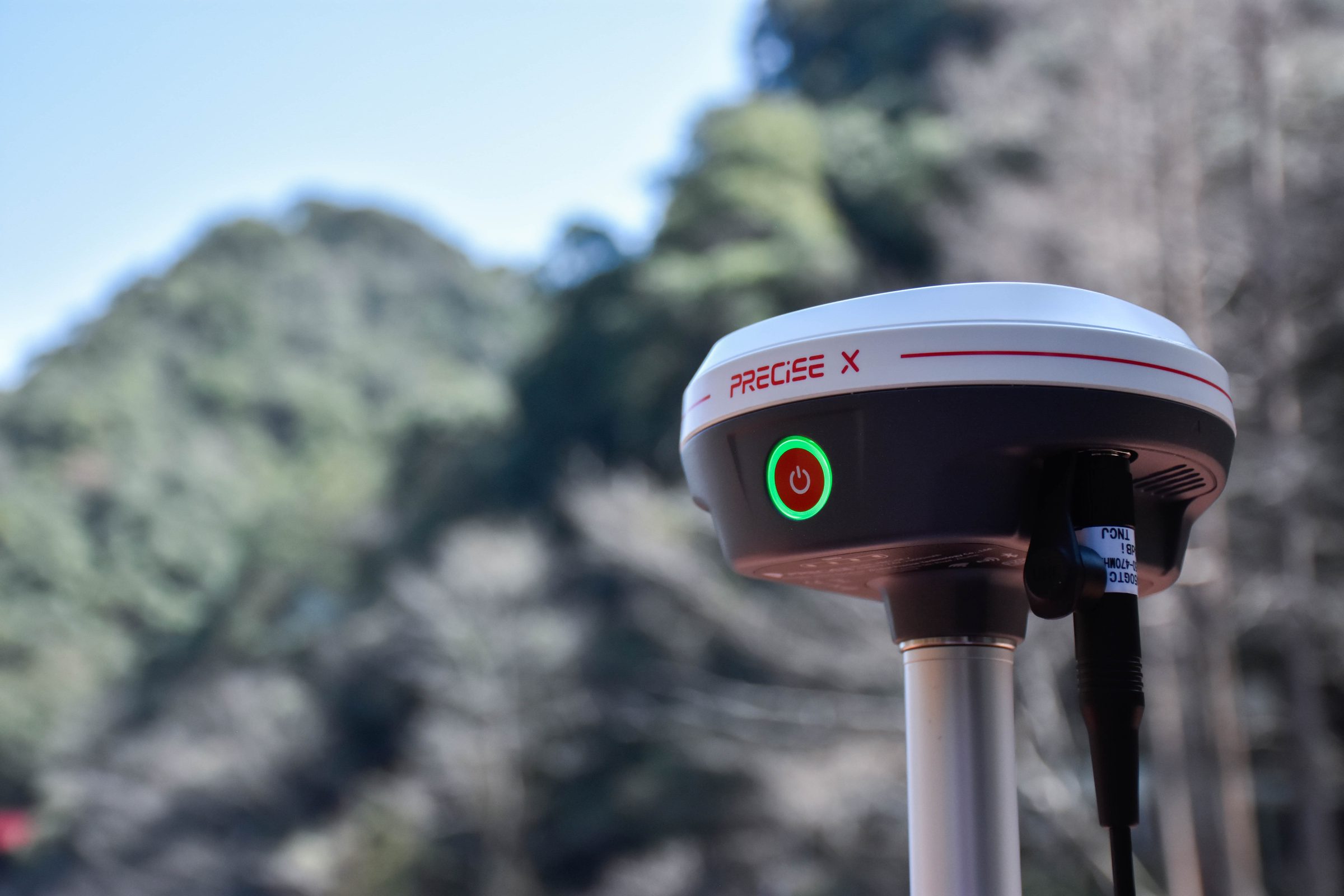
Includes a 4G cellular modem, a built-in 2W UHF transceiver (410–470 MHz) with common radio protocol support, a worldwide PPP correction service, USB Type-C, Wi-Fi, and Bluetooth.

Applications
Where It's Used
Customers
What Our Customers Are Saying
Alexei Ivanov
Russia
“PRECISE X has significantly enhanced our construction projects with its outstanding accuracy and reliability. It's a game-changer for our workflow.”
Mei Ling
China
“Using PRECISE X in our land surveying has greatly improved our efficiency and precision. It's an indispensable tool for our operations.”
Carlos Mendes
Brazil
“PRECISE X's high precision and ease of use have transformed our archaeological surveys, making data collection faster and more accurate.”
Miguel Torres
Mexico
“PRECISE X has been instrumental in streamlining our construction site surveys, delivering precise and reliable results consistently.”
Resources
Downloads & References
Manual
User Tips
Controller Software (xField)
FAQ & Troubleshooting
Technical Highlights
Engineered Detail
MATRIX Positioning & Full-Constellation Tracking: X tracks 1,808 channels across 21 frequency points spanning GPS, GLONASS, BeiDou, Galileo, QZSS, and SBAS, with MATRIX positioning applying intelligent scene recognition and satellite selection to reach a stable fix and hold it through the kind of obstructed conditions (tree canopy, partial sky visibility) that slow down simpler positioning systems. Under typical open-sky conditions, convergence to centimeter-level accuracy is achieved in approximately 5 seconds. (Fix rate, convergence time, and accuracy can be affected by multipath, obstructions, satellite geometry, and atmospheric conditions.)
AR Visual Stakeout Guidance The 2-megapixel CMOS imaging system overlays the target point onto the live camera feed in real time, turning "how far and which direction" into something you see directly in the scene rather than calculate from numbers on a screen. This overlay is a navigation aid. Final coordinate placement is confirmed by the underlying RTK engine, not by the visual display.
All-Day Power and Field-Grade Durability A 13,600 mAh internal battery delivers up to 15 hours of rover operation and 20 hours in static mode, with 4.5-hour USB-C PD fast charging to minimize downtime between sessions. The aluminum housing is rated IP68 for dust and water protection and rated for a 2 m drop onto a hard surface plus 40G/10ms shock resistance, engineered for a designed operating lifespan of approximately 8 years and rated for 3,000+ charge-discharge cycles under standard use conditions. (These figures describe engineering design targets under standard use conditions, not a warranty term.)
Technical Specifications
Full Spec Sheet
GNSS
Positioning Accuracy
Communication & Storage
Physical & Power
How It Works
From Setup to Result
Power on
MATRIX positioning begins processing all tracked constellations and frequencies immediately, aiming for a stable fix within seconds.
Choose your correction source based on the site
network RTK over 4G/Wi-Fi, the built-in UHF radio for a local base, or worldwide PPP service where no local infrastructure exists.
Survey through obstructed points without switching modes
the calibration-free IMU compensates for tilt up to 60° in real time.
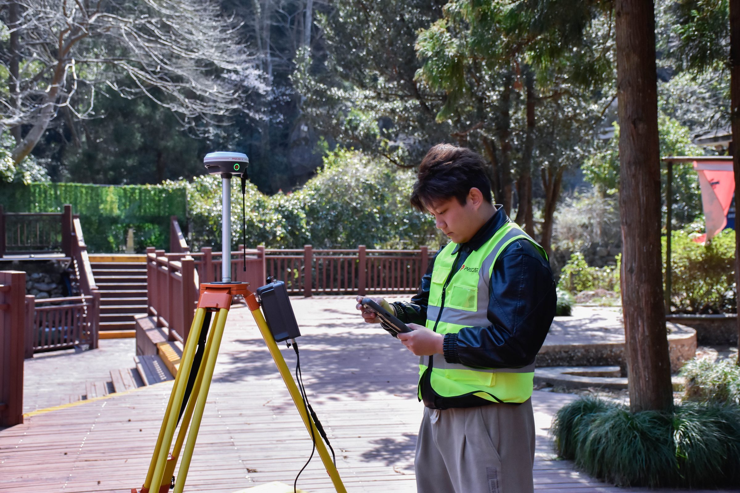
For stakeout, follow the AR overlay
in the live camera view to the design point, then confirm final placement against the RTK fix.
Keep working through the full shift
fast charging and a 15-hour rover battery reduce mid-day downtime, and the IP68-rated, aluminum-housed body handles drops, dust, and weather.
Watch & Learn
Setup, Features, and Unboxing
How to use point stakeout function
FAQ
Common Questions
The AR overlay is a visual navigation aid that tracks the design point against the live camera view to help you walk to the right location faster. The final coordinate accuracy of the placed point is set by the underlying RTK engine (± (8 mm + 1 ppm × D) horizontal), not by the camera display itself.
X tracks 1,808 channels across 21 frequency points on every major GNSS constellation, and MATRIX positioning applies scene recognition and satellite selection to prioritize the most reliable signals available. This combination is engineered to reach and hold a fix faster under obstructed conditions like tree canopy than a system using fewer signal sources or a simpler fix algorithm. Actual performance still depends on the specific canopy density, satellite geometry, and atmospheric conditions at the time.
Yes. The built-in IMU requires no field calibration, resists magnetic interference, and delivers 20 mm accuracy within 60° of tilt, with quick initialization at power-on.
The built-in 2W UHF transceiver is engineered for extended local-link range in open, line-of-sight conditions. Actual range depends on terrain, antenna height, obstructions, and local radio interference. For longer point-to-point links, the optional PL2 external radio can extend range further.
X supports 4G cellular network RTK, a built-in UHF radio for local base connections, worldwide PPP correction service via L-Band (B2b), Wi-Fi, Bluetooth, NFC, and wired connection via USB Type-C (which also supports Ethernet and fast charging).
The 13,600 mAh internal battery provides up to 20 hours in static mode or 15 hours in rover mode, and recharges to full in approximately 4.5 hours via USB-C PD fast charging.
Get in Touch
Talk to PRECISE About X
Tell us about your project and we'll route it to the right PRECISE team.
- Sales: sales@precise-geo.com
- Support: support@precise-geo.com
See X on Your Next Job.
Talk to our team about matching X to your survey, stakeout, and connectivity needs.