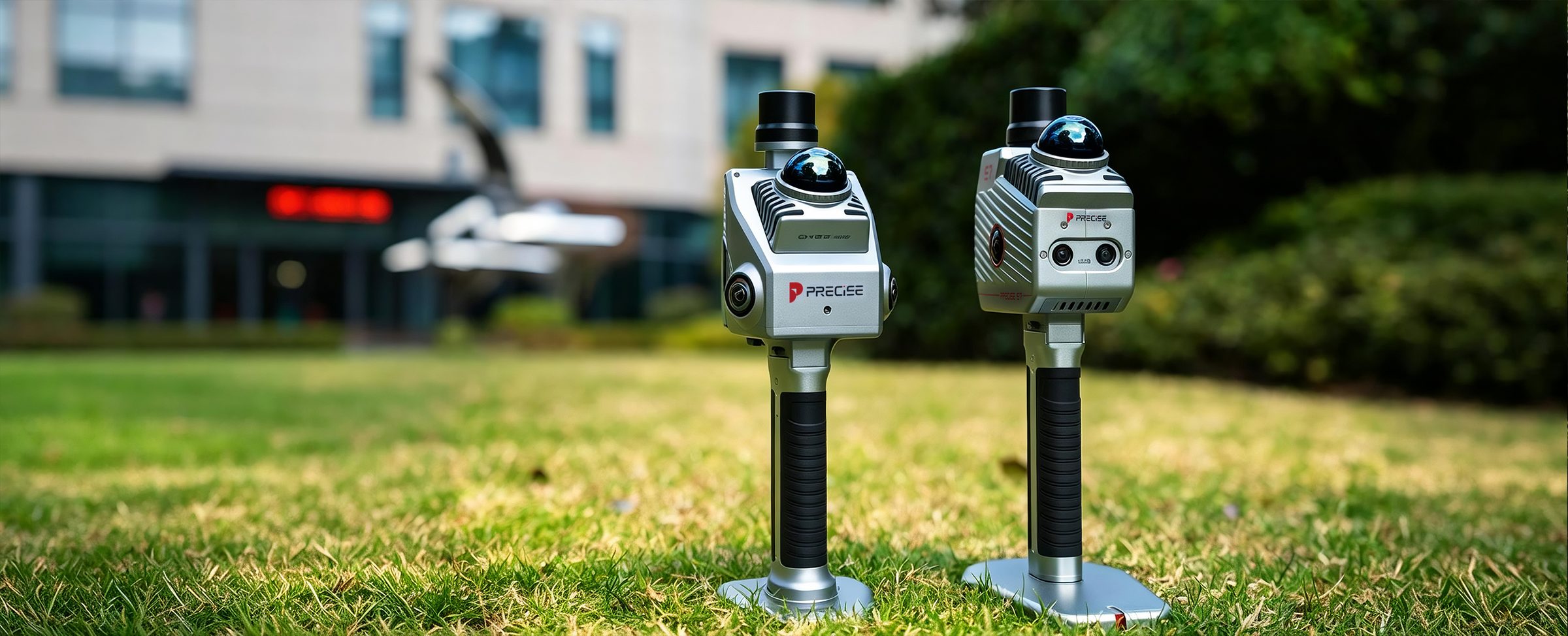
Product Category
Two scanners, two different jobs: fast field capture, or a full capture-to-deliverable pipeline.
PRECISE's handheld 3D LiDAR scanners turn physical space into usable point cloud data, from open, feature-poor terrain to GNSS-denied underground structures. S7 and S2 serve the same professional surveying and mapping customer, but they're built around different priorities: how much processing depth your project needs, and how many people you have to run it.
Product Lineup
3D Scanners Products
Compare by Task
Which One Do I Need
Complex or GNSS-Denied Environments
Your site has weak visual or geometric features (open terrain, long corridors), is GNSS-denied (underground, tunnels), or your deliverable needs advanced processing: forestry metrics, stockpile volume, mesh output for BIM, or multi-sensor fusion in structurally complex spaces.
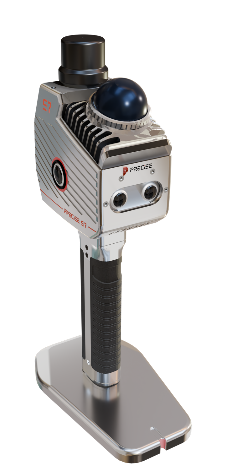
S7
MLF-SLAM fuses LiDAR, dual visual SLAM cameras, and IMU to hold stable tracking in low-feature or GNSS-denied spaces; data feeds into Process Pro for classification, registration, and specialized modules like the LiDAR360 forestry toolset.
Fast, Solo, Same-Day Capture
You're working alone, need to move through a space quickly, want to visually confirm complete coverage before you leave, and your deliverable is a standard-format point cloud.
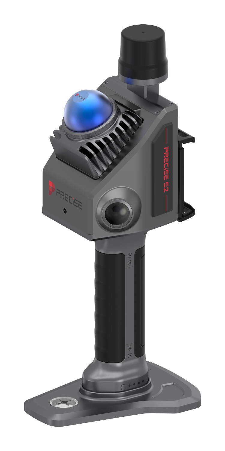
S2
360° rotating-mirror LiDAR captures floor, walls, and ceiling in one pass; the mobile app streams the true-color point cloud live, so a coverage gap is visible on-site, not discovered back at the office.
Complexity and Depth Both Matter
Both environmental complexity and processing depth matter to the project.
S7
One Person, One Pass, Same-Day
The priority is one person, one pass, and confirmed coverage the same day.
S2
Is S2 Just a Cheaper S7?
Whether S2 is a stripped-down, budget version of S7.
No — Different Optimization
Both include a genuine built-in RTK module (0.8 cm + 1 ppm horizontal). S7 is optimized for SLAM-challenging environments plus deep post-processing; S2 is optimized for single-operator field speed and immediate coverage confidence.
FAQ
Common Questions
Both include a genuine built-in RTK module. S7 and S2 each deliver 0.8 cm + 1 ppm horizontal / 1.5 cm + 1 ppm vertical RTK accuracy, letting either scanner's point cloud be referenced to absolute project coordinates when needed.
S2 is built specifically for single-operator work: it's lighter (~1 kg total), and the mobile app's real-time true-color preview lets one person confirm complete coverage without a second crew member checking data afterward. S7 can also be operated by one person, but its strength is environments where SLAM tracking itself is the challenge (open terrain, underground, GNSS-denied), not operator count.
S7. Its MLF-SLAM engine operates independently of GNSS and is specifically built to maintain stable tracking in underground parking structures, tunnels, utility tunnels, and similar GNSS-denied spaces.
For S2, the included software (viewing, basic rendering, basic measurement, replay, editing, standard-format export) covers most straightforward jobs at no extra cost; raw data can also be exported to third-party BIM/CAD/GIS or SLAM tools for deeper work. For S7, Process Pro is the companion software for classification, registration, and feature extraction, with additional professional modules (like the LiDAR360 forestry toolset) available separately for specialized project types.
Those specific applications (stockpile volume measurement and forestry metrics via the LiDAR360 module) are documented for S7, which is built around the deeper Process Pro pipeline these outputs require. If your project needs that level of processing, S7 is the right starting point.
Not Sure Which Scanner Fits Your Site?
Tell us your environment and deliverable, and we'll help you match it to S7 or S2.