3D Scanners
Scan it. See it. In true color, while you're still on site.
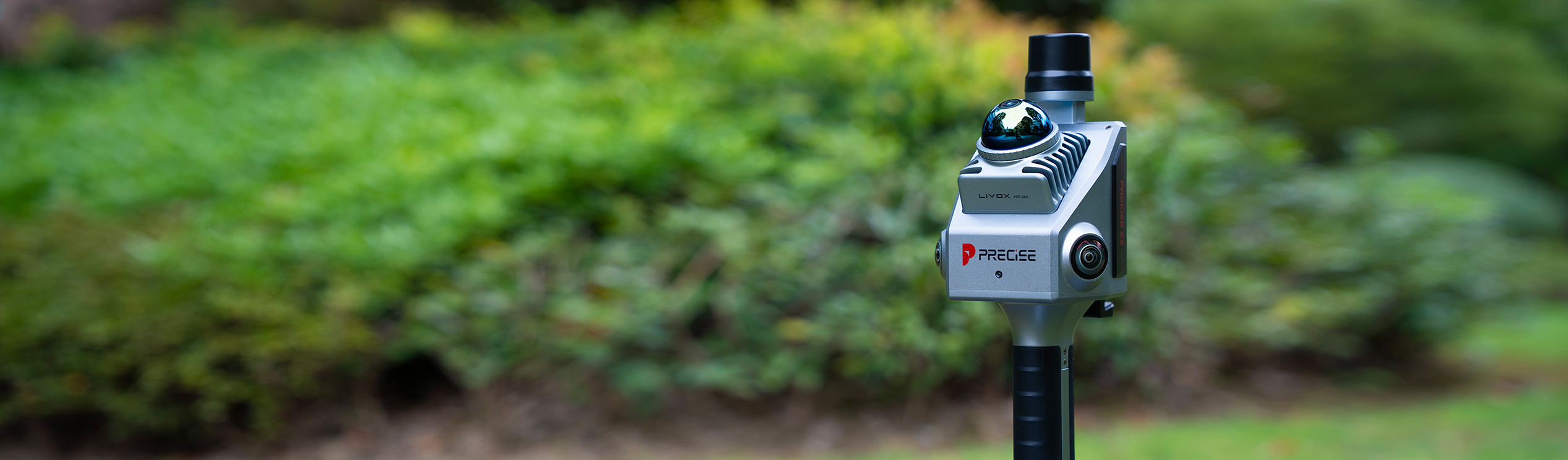
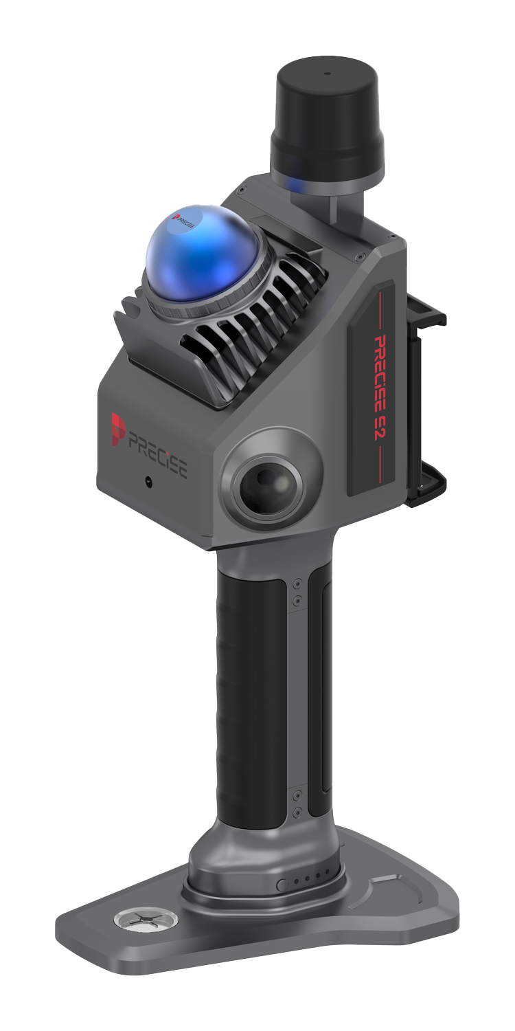
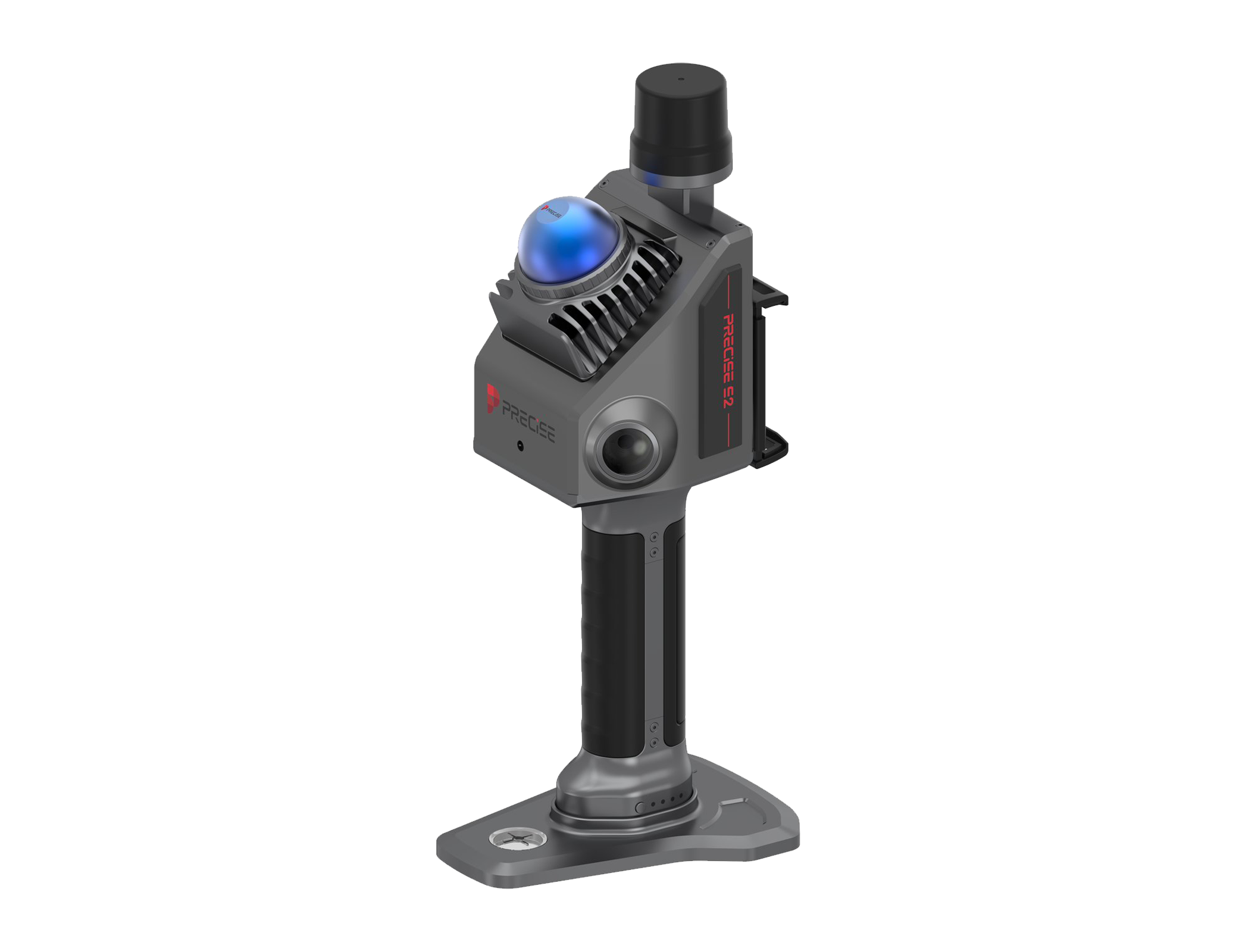
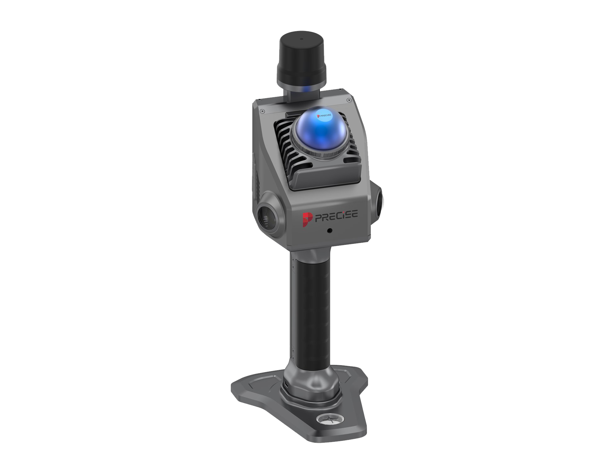
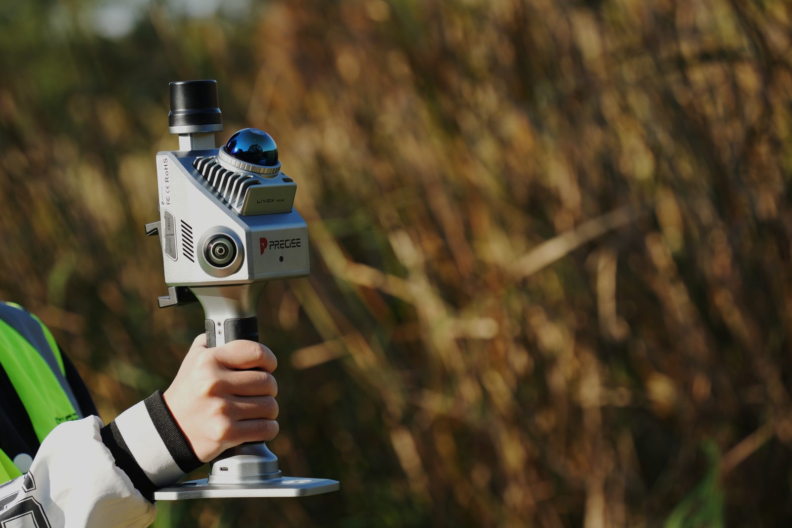
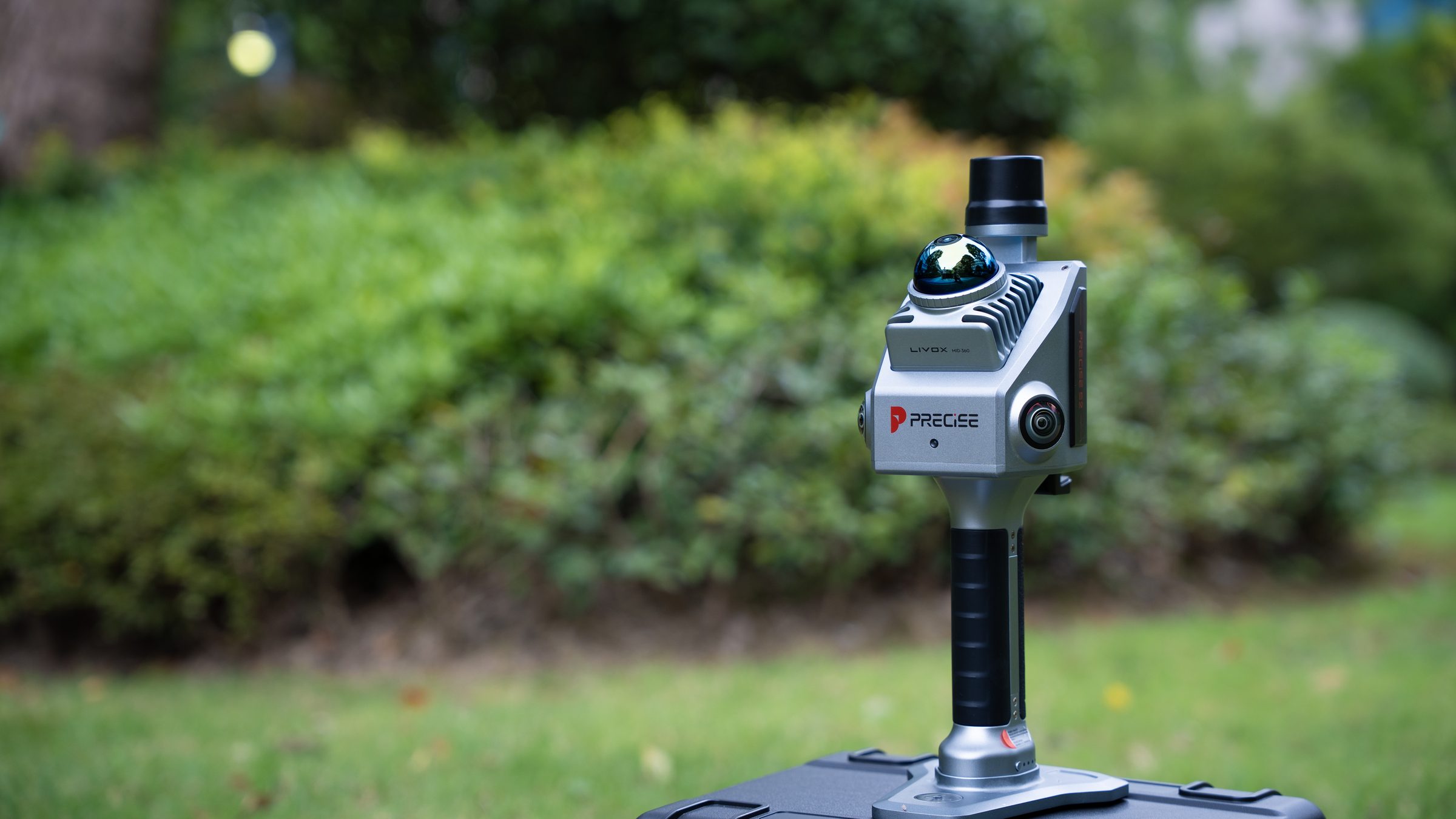
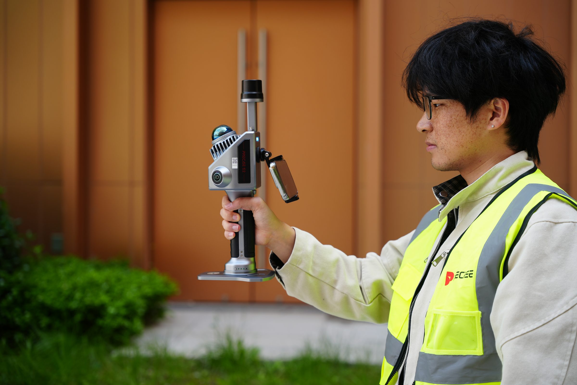
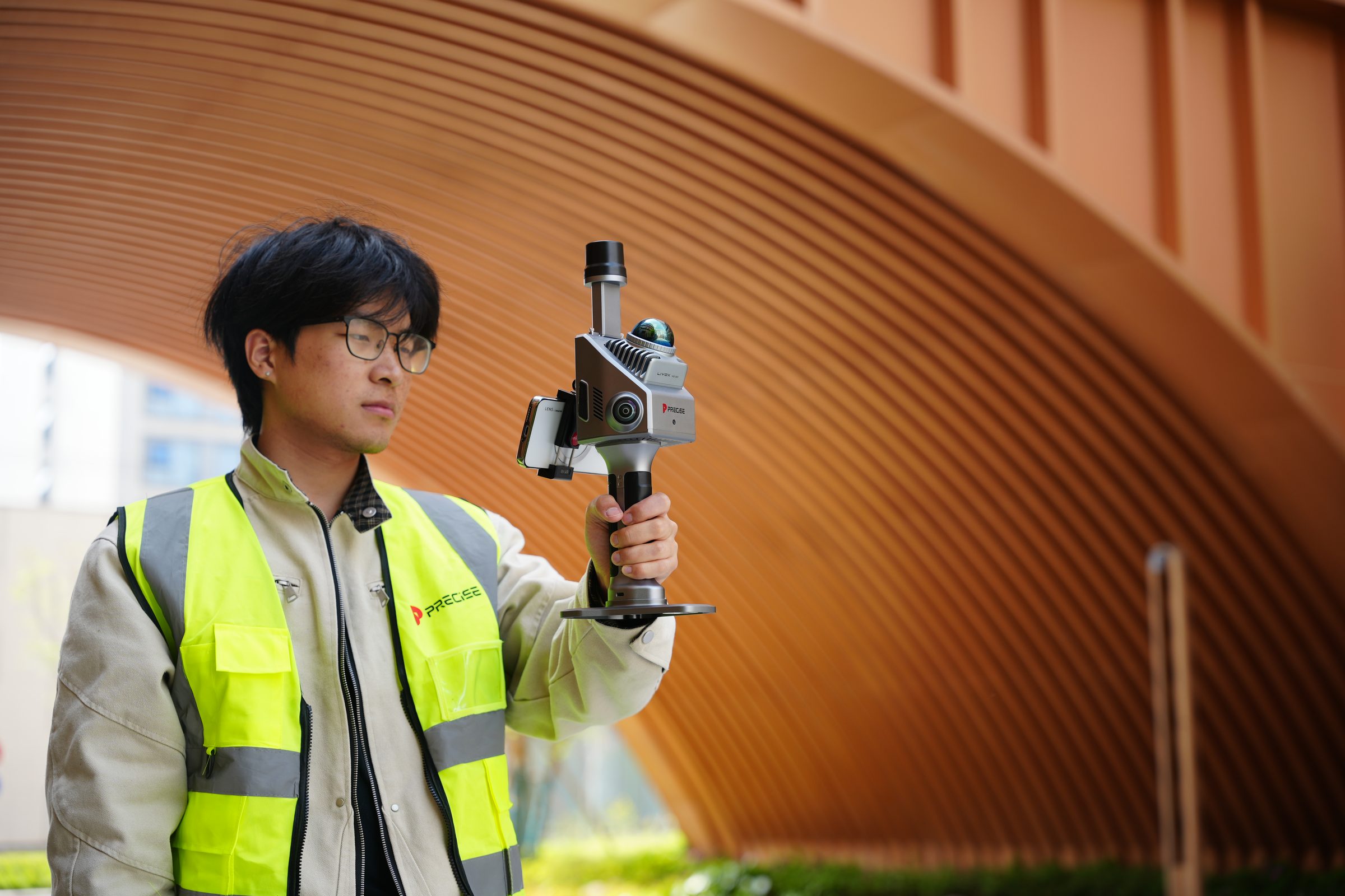
PRECISE S2 is a 1 kg handheld 3D LiDAR scanner with a 360° field of view and real-time true-color point cloud preview on your phone, so one person can capture a complete space and confirm coverage before leaving.
See It In Action
S2 in the Field
PRECISE S2 is a lightweight, single-operator handheld 3D LiDAR scanner built for fast field capture, with real-time true-color point cloud feedback so you can confirm coverage before leaving the site. Where S7 adds a full processing pipeline, S2 is optimized for speed.
Challenge
Fast-turnaround surveying and mapping projects don't always need a deep processing pipeline; they need reliable field capture without extra crew, repeated tripod setups, or a laptop tether. And when a scan happens in real time, the biggest risk is not knowing what you've missed until you're back at the office, by which point fixing it means a full return trip.
Solution
S2 answers both problems directly. Its 360° rotating-mirror LiDAR captures floor, walls, and ceiling in a single sweep, and the mobile app streams a true-color point cloud to your phone as you walk, so you can see coverage build in real time and re-scan any gap on the spot instead of discovering it back at the office.
Value
One operator can cover a space in a single pass, confirm on-site that nothing was missed, and export a ready-to-use point cloud the same day, with no return trip and no dedicated processing specialist required.
Key Benefits
Why S2
360° Rotating-Mirror LiDAR
Full-Scene Coverage in a Single Sweep
One walk-through captures the floor, forward objects, and ceiling together, without repositioning the scanner or making repeat passes for blind spots.
0°
Rotating-Mirror LiDAR Coverage
~0s
Time to Full Coverage
The rotating mirror reaches near-total spatial coverage within about a second of continuous scanning.
Real-Time True-Color Streaming
See the Point Cloud While You're Still on Site
Operators can confirm coverage as they walk and re-scan gaps on the spot, instead of discovering missing data back at the office.
0-inch
Dual Color Sensor Size
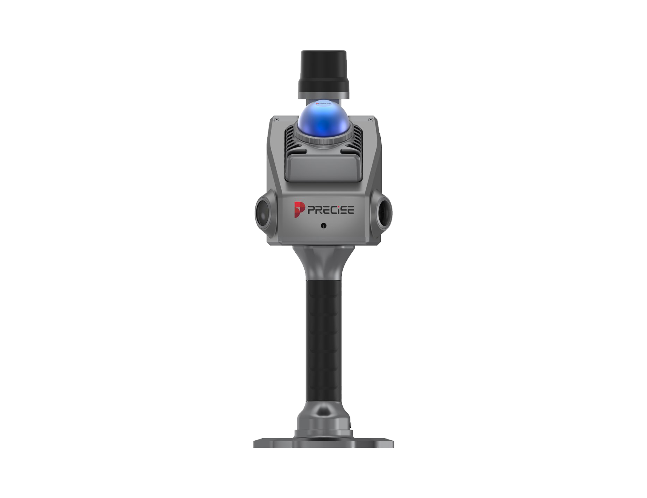
Dual 1-inch color sensors capture imagery in sync with the LiDAR, so what streams to the app is the same data that gets exported.
Lightweight, Hot-Swappable Power
One Person, One Device, a Full Day of Continuous Work
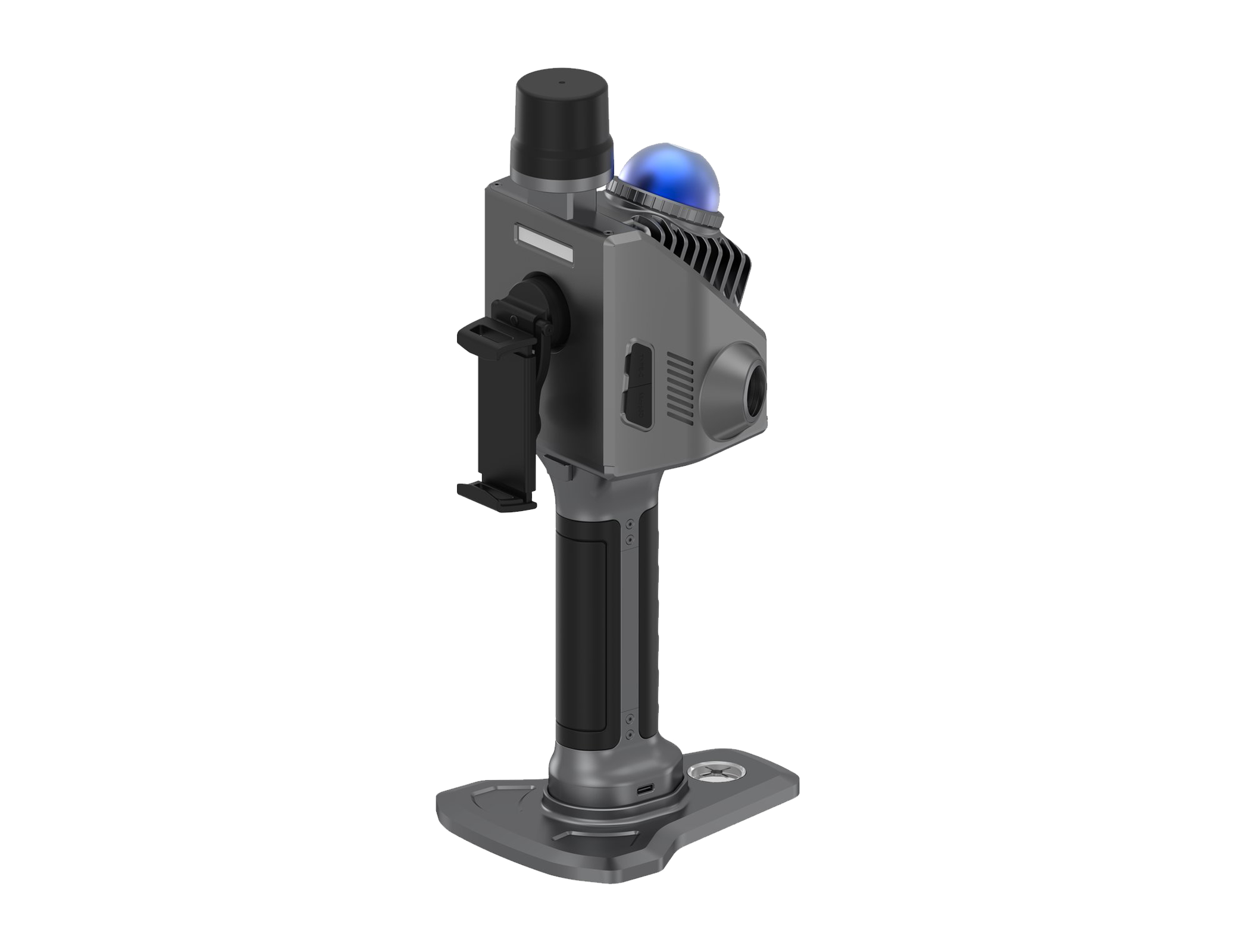
A single operator can carry S2 for extended periods and keep scanning through a full working day by swapping power on the fly.
~0kg
Total Unit Weight
The roughly 1 kg unit and USB-C PD charging mean no laptop, cable tether, or second person is needed.
Included Processing Software
Data That's Ready to Use, and Open to Go Further
Straightforward jobs go from field capture to a usable point cloud the same day with the bundled software.
Raw scan and imagery data are also exportable to whatever CAD, BIM, or GIS software the team already runs.
Applications
Where It's Used
Customers
What Our Customers Are Saying
Sophia Chen
China
“PRECISE S2's real-time color point cloud preview on mobile is simply amazing. It saves us so much time on-site and gives instant visual feedback for every scan.”
Alejandro Vargas
Mexico
“Having free access to the point cloud processing software was a pleasant surprise. It's powerful, intuitive, and completely eliminates the need for third-party tools.”
Tariq Al-Mansoori
UAE
“The 10cm close-range detection and anti-interference performance are incredible. We've scanned crowded industrial sites with zero data corruption.”
David Green
Australia
“PRECISE S2 integrates seamlessly into our BIM workflow. We go from scan to CAD with minimal hassle, and the results are spot-on every time.”
Technical Highlights
Engineered Detail
360° coverage via hybrid rotating-mirror LiDAR, reaching near-total spatial coverage in about 1 second of continuous scanning, versus 27°–41° vertical FOV for typical fixed multi-line mechanical LiDAR.
25° tilted mounting angle captures floor, forward objects, and ceiling together in a single pass, cutting down on repeated angle adjustments.
10 cm minimum detection range with active anti-interference design for multi-LiDAR or high-reflection environments.
6-axis, 200 Hz IMU (3-axis accelerometer + 3-axis gyroscope) for high-frequency motion tracking during active handheld movement.
Dual 1-inch image sensors with microsecond-level sync: 16 MP per lens, 2.4 µm pixels, combined FOV 270° horizontal / 360° vertical.
Real-time preview architecture the Android app streams the actual true-color point cloud during capture, with stream, download, and replay support.
OTA updates, no factory recalibration required to stay accurate.
S2 includes a genuine RTK positioning module (horizontal accuracy 0.8 cm + 1 ppm, vertical 1.5 cm + 1 ppm) supporting both China and overseas satellite constellations. Positioning runs on PRECISE's MATRIX engine, rated at a 99.9% fix rate under normal field conditions.
Technical Specifications
Full Spec Sheet
Basic
RTK
Camera
V-SLAM Camera
Battery
Data & Software
How It Works
From Setup to Result
Open the App and Start Scanning
No laptop or cable setup required: open the S2 app on a phone or tablet and begin, similar to starting a photo capture.
Walk the Space
The 360° hybrid rotating-mirror LiDAR and 25° tilted mount capture floor, walls, and ceiling as you move; the 6-axis, 200 Hz IMU keeps tracking stable through motion.
Watch the Point Cloud Build in Real Time
Dual 1-inch color sensors and the LiDAR stream a true-color point cloud to the app as you scan, so you can see coverage as it happens.
Check for Gaps Before You Leave
If an area looks incomplete in the live preview, re-scan it on the spot, before packing up.
Export and Use
Download, replay, and export the finished point cloud using the included software, or hand off the raw scan and imagery data to your team's existing BIM, CAD, GIS, or custom SLAM/3DGS workflow.
FAQ
Common Questions
No. S2 and S7 are built around different priorities for the same professional customer base. S2 is optimized for fast, single-operator field capture with real-time visual confirmation: a lighter unit, longer single-person runtime, and instant coverage feedback. S7 is built for teams that need a deeper capture-to-deliverable pipeline with more advanced processing modules.
S2's Android app streams the actual true-color point cloud to your phone in real time as you scan, not just a status light. If you see a gap in the live preview, you can re-scan that area immediately, before leaving the site.
S2 includes its own confirmed RTK module (horizontal accuracy 0.8 cm + 1 ppm, vertical 1.5 cm + 1 ppm) supporting both China and overseas satellite systems. Like S7, it runs on PRECISE's MATRIX positioning engine, rated at a 99.9% fix rate under normal field conditions.
The included software covers point cloud viewing, basic rendering, basic measurement, replay, editing, and standard-format export at no extra cost. For deeper analysis, you can export the raw scan and imagery data into your existing BIM, CAD, GIS, or professional point cloud software.
S2 is rated for 2.5 hours of continuous runtime on a single battery, with USB-C PD (30 W) charging that takes about 120 minutes for a full charge. Because charging is via a standard USB-C power bank, operators can hot-swap power in the field.
S2 exports point clouds in standard formats designed for direct use in BIM and CAD platforms, with point cloud thickness ≤1 cm and relative accuracy ≤2 cm. Raw scan and imagery data are also accessible for teams running mesh modeling or 3D Gaussian Splatting.
S2 carries an IP5X protection rating and is rated for operation from −30°C to 65°C, with storage temperature down to −40°C.
Get in Touch
Talk to PRECISE About S2
Tell us about your project and we'll route it to the right PRECISE team.
- Sales: sales@precise-geo.com
- Support: support@precise-geo.com
One person. One device. A complete scan.
Tell us about the space you need to capture and the team size you're working with, and a PRECISE engineer can help you confirm whether S2's field-speed workflow, or S7's full processing pipeline, is the right fit for your project.