Solution
Capture the space. Leave with data your project can actually use.
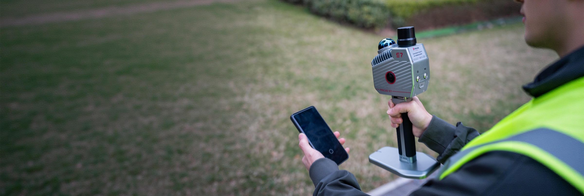
PRECISE 3D Reality Capture solutions turn physical space (a building interior, an open field, an underground structure) into a georeferenced 3D point cloud, using handheld LiDAR scanners built to keep tracking where GNSS is unavailable or a single-sensor SLAM system would drift.
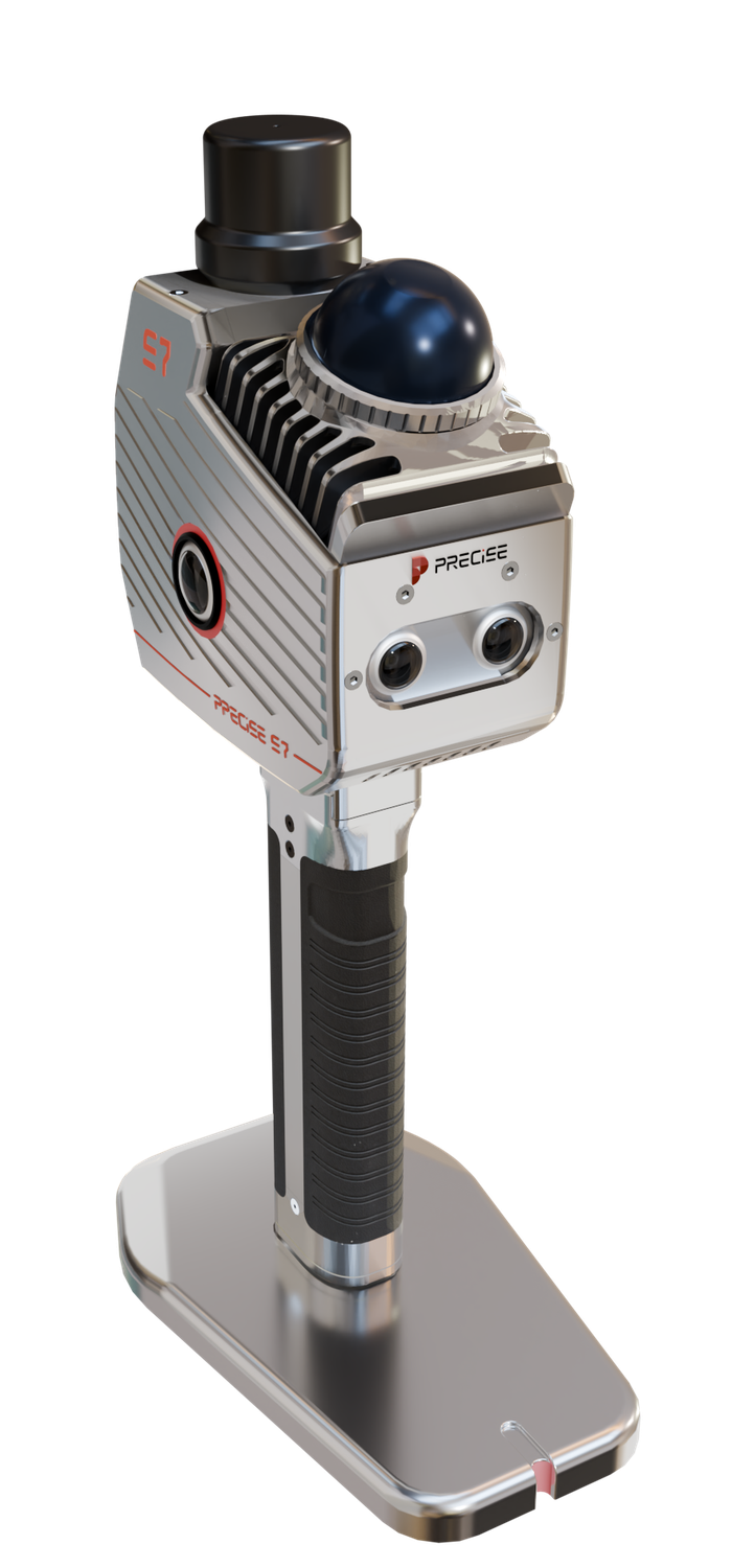
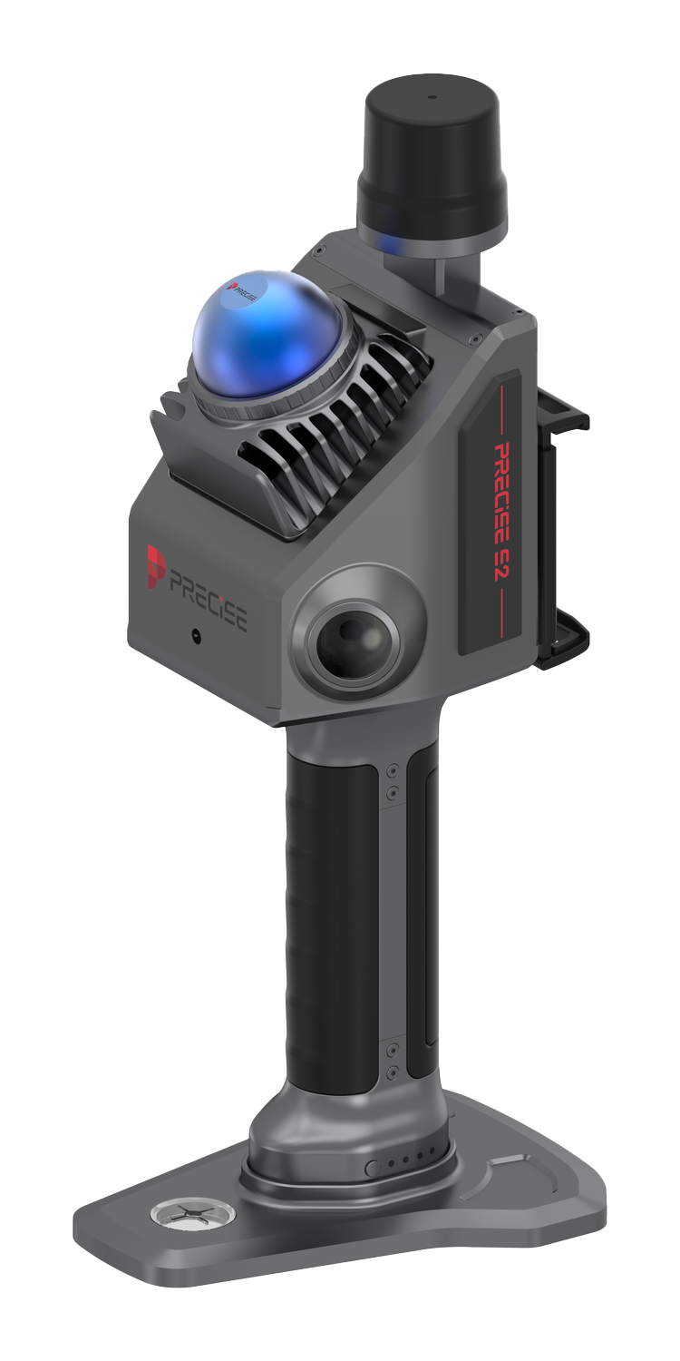
Recommended Products
What to Use
Typical Tasks
What This Covers
Indoor & Underground Capture
Parking structures, utility tunnels, malls, and other GNSS-denied spaces.
Open, Low-Feature Terrain Capture
Highway corridors, beaches, reclamation areas, mine sites, and riverbanks.
Stockpile Volume Measurement
Direct point cloud-based volume calculation.
Forestry Survey
Tree count, position, height, crown width, DBH, and species extraction.
As-Built & Renovation Documentation
Real estate, engineering audits, and design source data.
Rapid Single-Operator Building Surveys
Complete interior capture, including floors and ceilings, by one person.
Accident & Emergency Scene Capture
Fast colored point cloud and imagery for investigation and analysis.
Construction Progress Monitoring
Pre-construction site review, in-progress quality control, and completion documentation.
Field Challenges
What Gets in the Way
No Satellite Signal Underground
Underground parking structures, tunnels, and indoor spaces have no usable satellite signal, so a scanning method that depends on GNSS to track position simply doesn't work there.
Open Terrain Starves Camera-Only SLAM
Open fields, beaches, reclamation areas, and long uniform corridors don't give a camera-only or single-sensor SLAM system enough visual or geometric detail to hold a stable trajectory.
Three Data Types, One Reference Frame
Geometry, true-color imagery, and absolute coordinates need to line up in one reference frame, then pass through registration, classification, and export before the point cloud is usable in GIS, CAD, or BIM.
Gaps Surface Too Late
Discovering a coverage gap back at the office, after the crew has already left the site, turns into a full return trip.
One Operator, No Backup
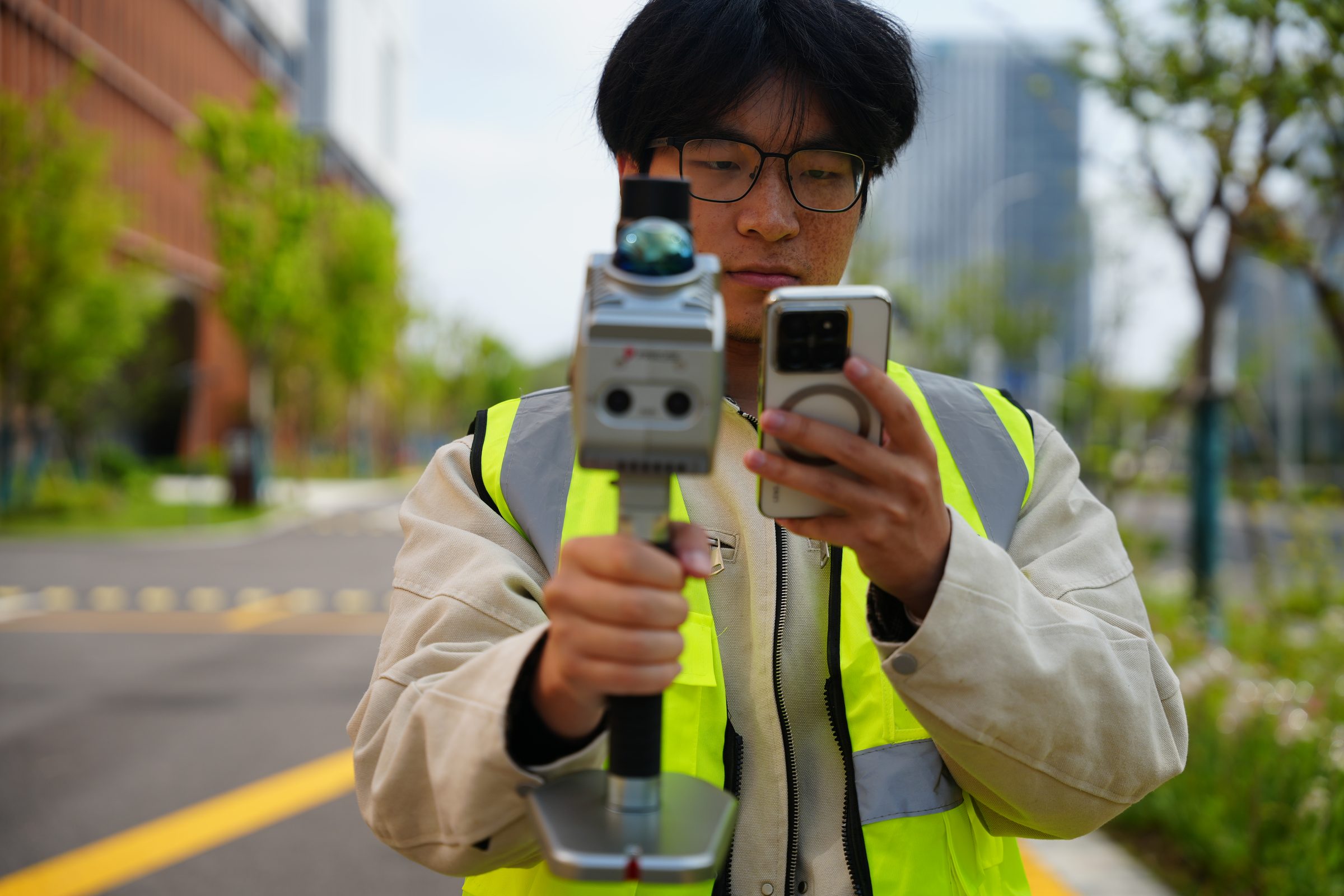
Many capture jobs need to be completed by one operator, in one continuous pass, with no dedicated processing specialist standing by.
One Pipeline Doesn't Fit Every Job
A same-day interior scan and a forestry inventory project (tree count, height, species) don't call for the same processing pipeline or software modules.
Workflow
How the Job Gets Done
Capture
Walk the space while the scanner builds a continuously tracked trajectory, fusing LiDAR, IMU, and visual data so tracking holds up in both GNSS-denied and low-feature environments.
Confirm Coverage
Check the point cloud as it builds, in real time where the device supports it, and re-scan any gap on the spot rather than discovering it later.
Georeference
Where the deliverable requires it, tie the locally consistent point cloud to absolute project coordinates using the scanner's onboard RTK module, via CORS, network RTK, or PPK.
Process
Take the exported point cloud and imagery through classification, registration, and feature extraction, using bundled software for simple jobs, or a deeper pipeline with specialized modules for production work.
Deliver
Export to standard point cloud, mesh, imagery, or Gaussian Splatting formats for direct use in GIS, CAD, BIM, or digital twin workflows.
Selection Guidance
If Your Project Is...
GNSS-Denied, Typical Geometry
Underground, in a tunnel, or another GNSS-denied space with typical building geometry.
S2
Or S7 if it also needs forestry-grade or advanced processing
Low-Feature Open Terrain
An open field, beach, reclamation area, mine site, or other low-feature terrain.
S7
MLF-SLAM is built specifically for these conditions
Same-Day Solo Survey
A same-day interior or building survey with one operator and no dedicated processing team.
S2
Forestry Inventory
A forestry inventory needing tree count, height, DBH, or species.
S7
With the LiDAR360 forestry module
Full GIS/CAD/BIM Pipeline
Large or multi-zone sites needing a full pipeline into GIS/CAD/BIM/digital twin production.
S7
With Process Pro
Rapid Emergency Scene Capture
A rapid accident, emergency, or security scene capture.
S2 or S7
S2 for speed and immediate confirmation, or S7 where the environment is also low-feature or GNSS-denied
Stockpile Volume Measurement
A stockpile volume measurement.
S7
Real-time point cloud volume calculation, extendable pole for stockpiles over 5 m
Customers
What Our Customers Are Saying
Lukas Schneider
Germany
“The reliability of PRECISE S7 in low-texture environments makes it a practical tool for real-world surveying, not just controlled conditions.”
Sophia Chen
China
“PRECISE S2's real-time color point cloud preview on mobile is simply amazing. It saves us so much time on-site and gives instant visual feedback for every scan.”
Carlos Méndez
Spain
“One scan is often enough to capture everything we need, which significantly improves our field efficiency.”
Alejandro Vargas
Mexico
“Having free access to the point cloud processing software was a pleasant surprise. It's powerful, intuitive, and completely eliminates the need for third-party tools.”
FAQ
Common Questions
Yes, both. Their SLAM engines (MLF-SLAM on S7, hybrid rotating-mirror LiDAR with IMU fusion on S2) track position independently of satellite signals. The onboard RTK module on each scanner is only needed when you want the resulting point cloud tied to absolute real-world coordinates, not for the scan itself to function.
The RTK module georeferences your point cloud: it ties the scan's internal, locally consistent geometry to real-world project coordinates. It's optional if you only need a relative point cloud (for example, an internal building survey with no need to align to a site coordinate system), but recommended for survey-grade deliverables that need to combine with other project data.
No, these are different measurements. Both S7 and S2 run their RTK positioning on PRECISE's MATRIX positioning engine, rated at a 99.9% fix rate under normal field conditions. This describes how reliably the GNSS module resolves a satellite position, not the scanning accuracy. S7's scanning accuracy is 5 cm absolute in real-time (under 3 cm post-processing) with relative accuracy under 2 cm. S2's point cloud thickness is ≤1 cm, with relative accuracy ≤2 cm and absolute accuracy ≤5 cm.
Yes, both are designed for single-operator use. S2 is built specifically around this: a roughly 1 kg unit with real-time coverage confirmation so a solo operator can verify the scan is complete before leaving the site. S7 also supports single-operator handheld use, with a frontpack kit available for extended sessions on larger sites.
S7 exports colored point clouds (LAS, LiDATA), mesh (LOD-OSGB), panoramic imagery (imglist + JPG), and Gaussian Splatting data (lisplat, PLY), standard formats built to integrate with mainstream GIS, CAD, and BIM workflows. S2 exports point clouds in standard formats for direct use in BIM and CAD platforms, with raw scan and imagery data also available for custom SLAM, mesh, or 3D Gaussian Splatting pipelines.
S7, paired with the LiDAR360 forestry processing module, is built for this: extracting tree count, individual tree position, height, crown width, diameter at breast height (DBH), and species from a handheld scan of a forest stand.
Both scanners are rated for roughly 2.5 hours of continuous runtime on a single battery. S2 supports USB-C PD hot-swap power, letting an operator keep working by swapping batteries or connecting a power bank without returning to a fixed charging point. S7's IP64 rating and wide operating temperature range (−30°C to 65°C) support extended field sessions across multiple battery swaps on larger sites like mines and infrastructure corridors.
Get in Touch
Talk to PRECISE About 3D Reality Capture
Tell us about your project and we'll route it to the right PRECISE team.
- Sales: sales@precise-geo.com
- Support: support@precise-geo.com
Turn Your Site Into a Point Cloud You Can Actually Use
Tell us your site conditions and deliverable, and we'll help you match it to S7 or S2.