3D Scanners
Scan complex spaces others can't. Deliver data your project can actually use.
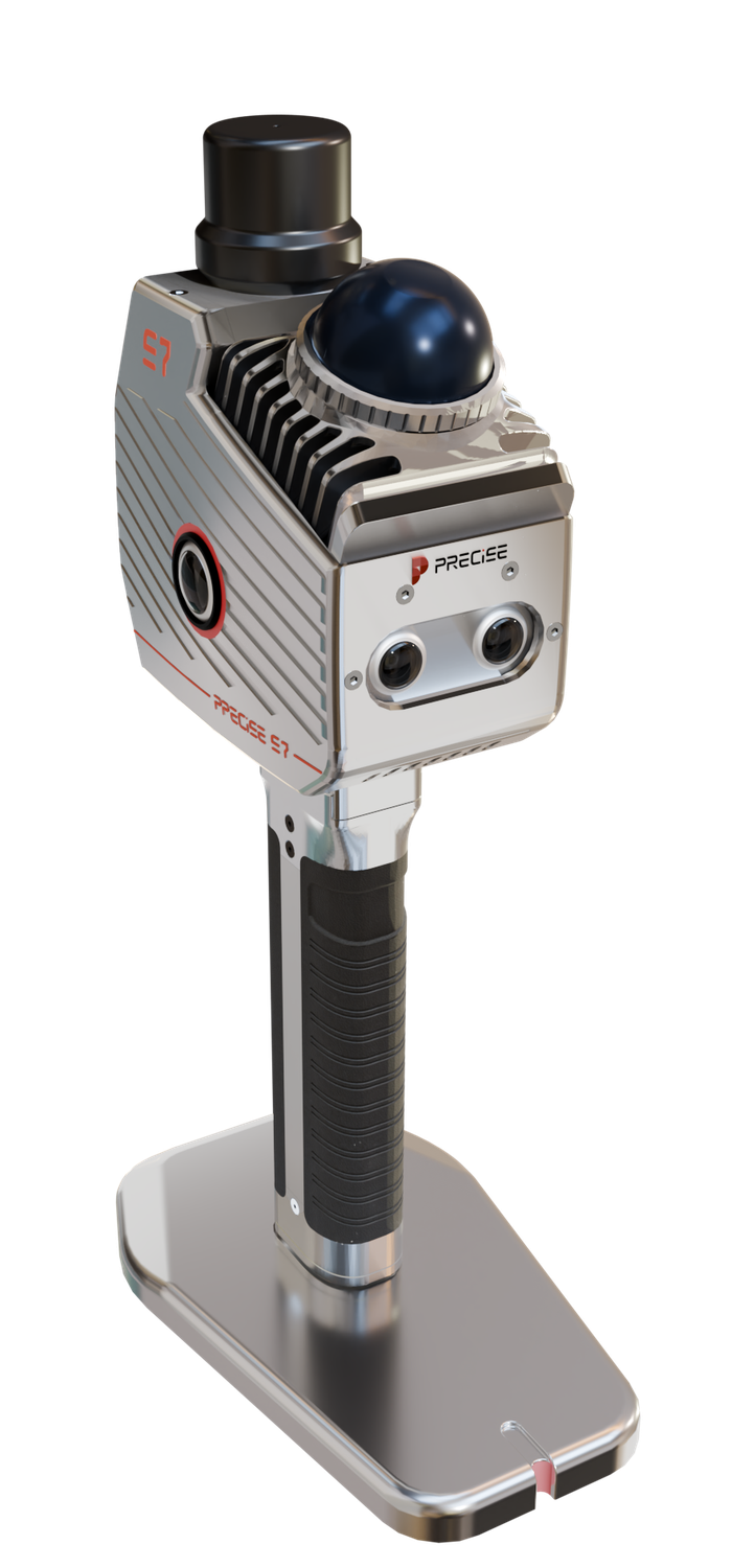
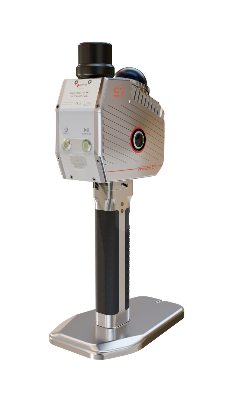
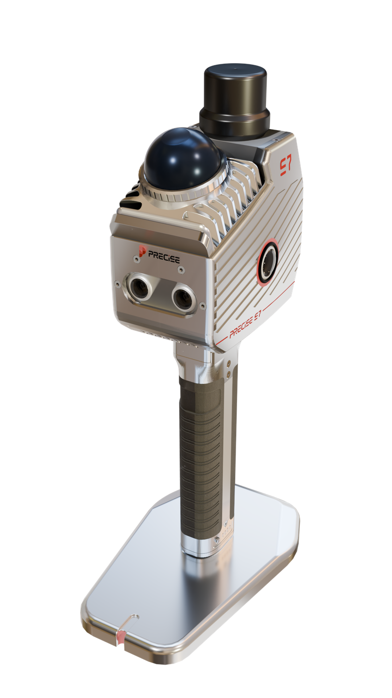
PRECISE S7 combines multi-sensor SLAM fusion, a built-in RTK module, and dual imaging systems to capture accurate, georeferenced point clouds in low-feature, GNSS-denied, and structurally complex environments, from airports and open fields to underground parking structures and mine sites.
See It In Action
S7 in the Field
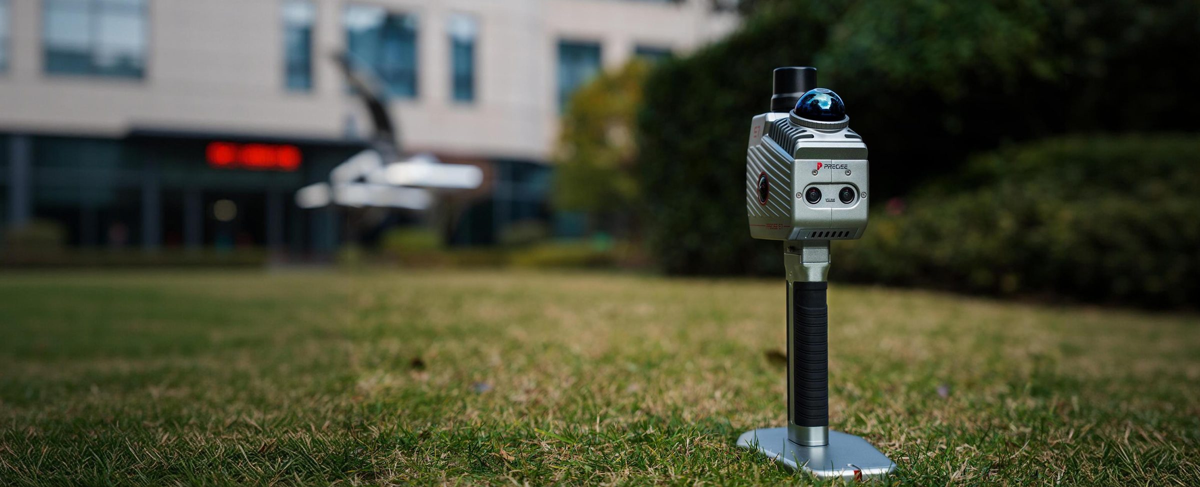
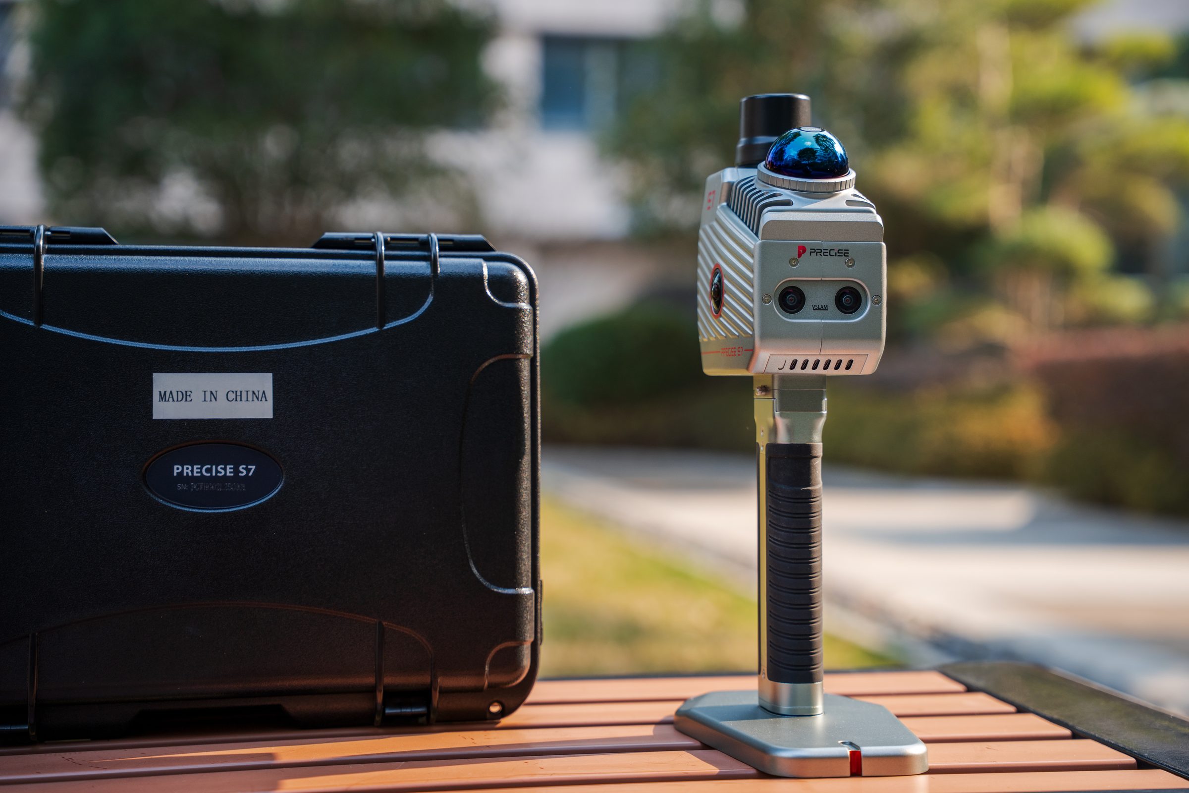
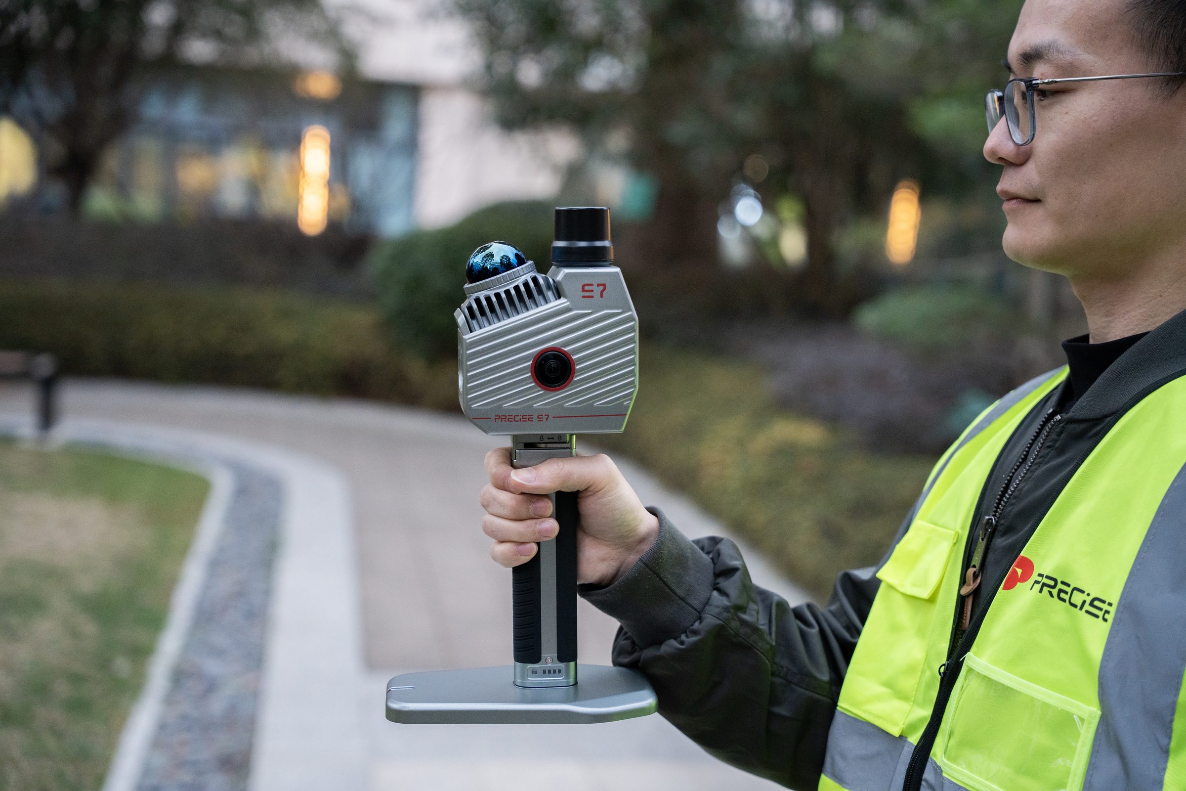
PRECISE S7 is a handheld 3D LiDAR scanner that captures georeferenced point clouds in low-feature, GNSS-limited environments and carries that data through processing to a finished deliverable, going further than S2's fast single-operator capture with a complete processing pipeline.
Challenge
Professional 3D capture projects rarely end when the scanning stops. Teams working in airports, riverbanks, mines, and tunnels face two compounding problems: handheld SLAM systems can drift in low-feature environments, and even a clean scan still has to travel through registration, georeferencing, and processing, often across several disconnected software tools, before it's a usable deliverable.
Solution
S7 addresses both problems at once. Its proprietary MLF-SLAM engine fuses LiDAR, dual visual SLAM cameras, and IMU to hold stable positioning where single-sensor SLAM struggles, while a built-in RTK module anchors the resulting point cloud to real-world coordinates. Process Pro software then carries that data through registration, classification, and feature extraction toward a finished deliverable.
Value
Survey teams leave the field with a single georeferenced, true-color point cloud and a direct path into GIS, CAD, and BIM workflows, without re-shooting or manually correcting for drift.
Key Benefits
Why S7
MLF-SLAM Sensor Fusion
Stable Capture Where Feature-Based SLAM Struggles
Crews can walk through open terrain, long corridors, and other low-feature sites without the drift that affects single-sensor handheld SLAM.
LiDAR, dual visual SLAM cameras, and IMU combine into one localization solution, so no single sensor's blind spot breaks tracking.
Synchronized Multi-Sensor Capture
One Field Pass, Multiple Usable Data Types
One scan produces a colored point cloud, panoramic imagery, and, when RTK is enabled, absolute coordinates, without a second site visit.
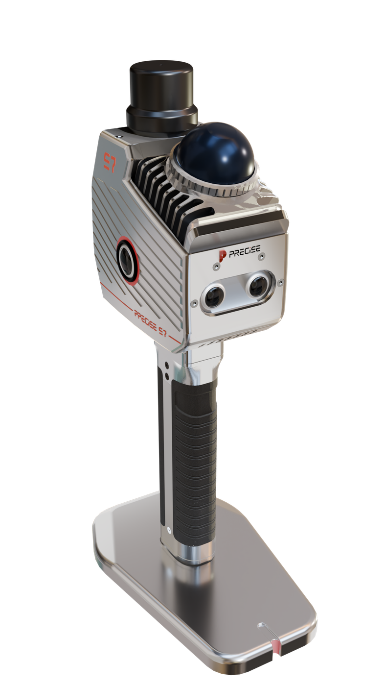
Dual panoramic and visual SLAM cameras run in sync with the LiDAR and IMU on a shared timestamp and reference frame.
Integrated RTK Module
Point Clouds That Land in Real-World Coordinates
The point cloud drops directly into your project coordinate system alongside other survey data, without a separate manual georeferencing pass.
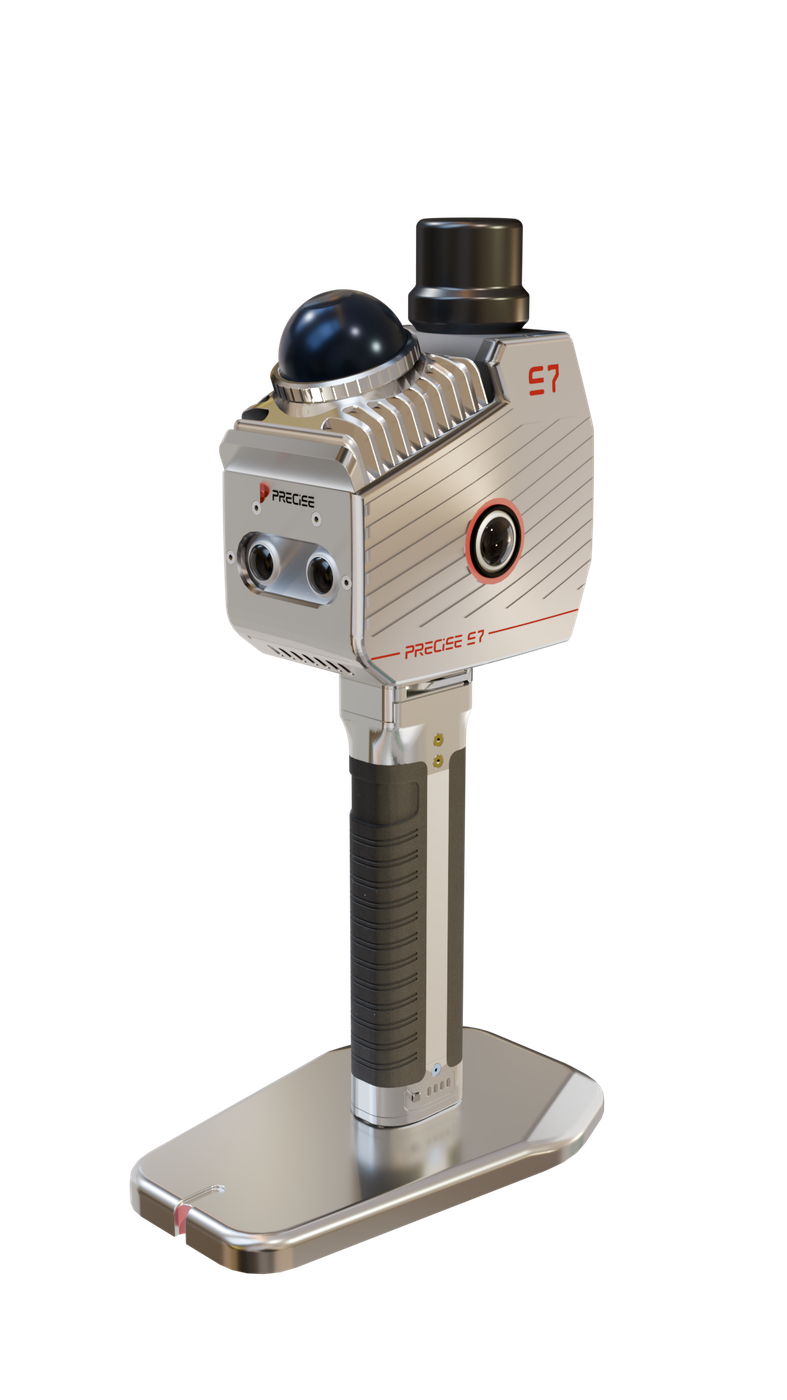
The onboard RTK module, supporting CORS, network RTK, and PPK modes, anchors the SLAM-generated geometry to absolute coordinates.
Extended Runtime with Live Colorization
Long, Uninterrupted Field Sessions on Large Sites
Crews can cover more of a large site in a single session, cutting down on the number of separate scans that need registering together afterward.
A high-capacity battery and real-time point cloud colorization keep the scan-to-data pipeline moving without an extra post-processing pass.
Applications
Where It's Used
Customers
What Our Customers Are Saying
Lukas Schneider
Germany
“The reliability of PRECISE S7 in low-texture environments makes it a practical tool for real-world surveying, not just controlled conditions.”
Carlos Méndez
Spain
“One scan is often enough to capture everything we need, which significantly improves our field efficiency.”
Piotr Kowalski
Poland
“PRECISE S7 performs exceptionally well in large indoor spaces like airports, where traditional SLAM systems struggle.”
Julien Moreau
France
“MLF-SLAM gives us confidence in environments where feature-based mapping is simply unreliable.”
Technical Highlights
Engineered Detail
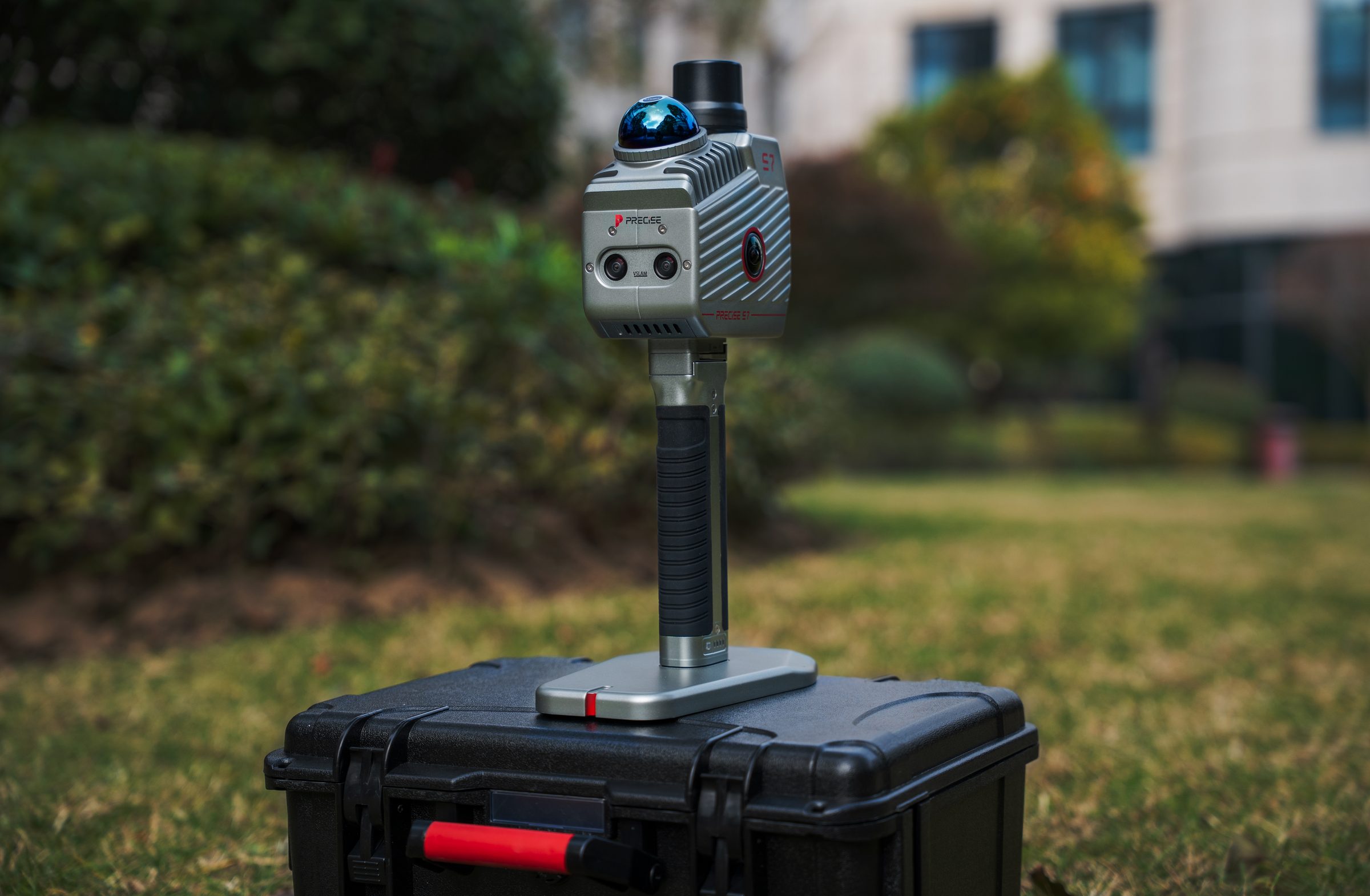
MLF-SLAM (Multiple Localization Fusion-SLAM) PRECISE's proprietary framework fuses LiDAR, dual visual SLAM cameras, and IMU into a single localization solution, maintaining stable positioning in weak-feature and featureless environments: open fields, beaches, reclamation areas.
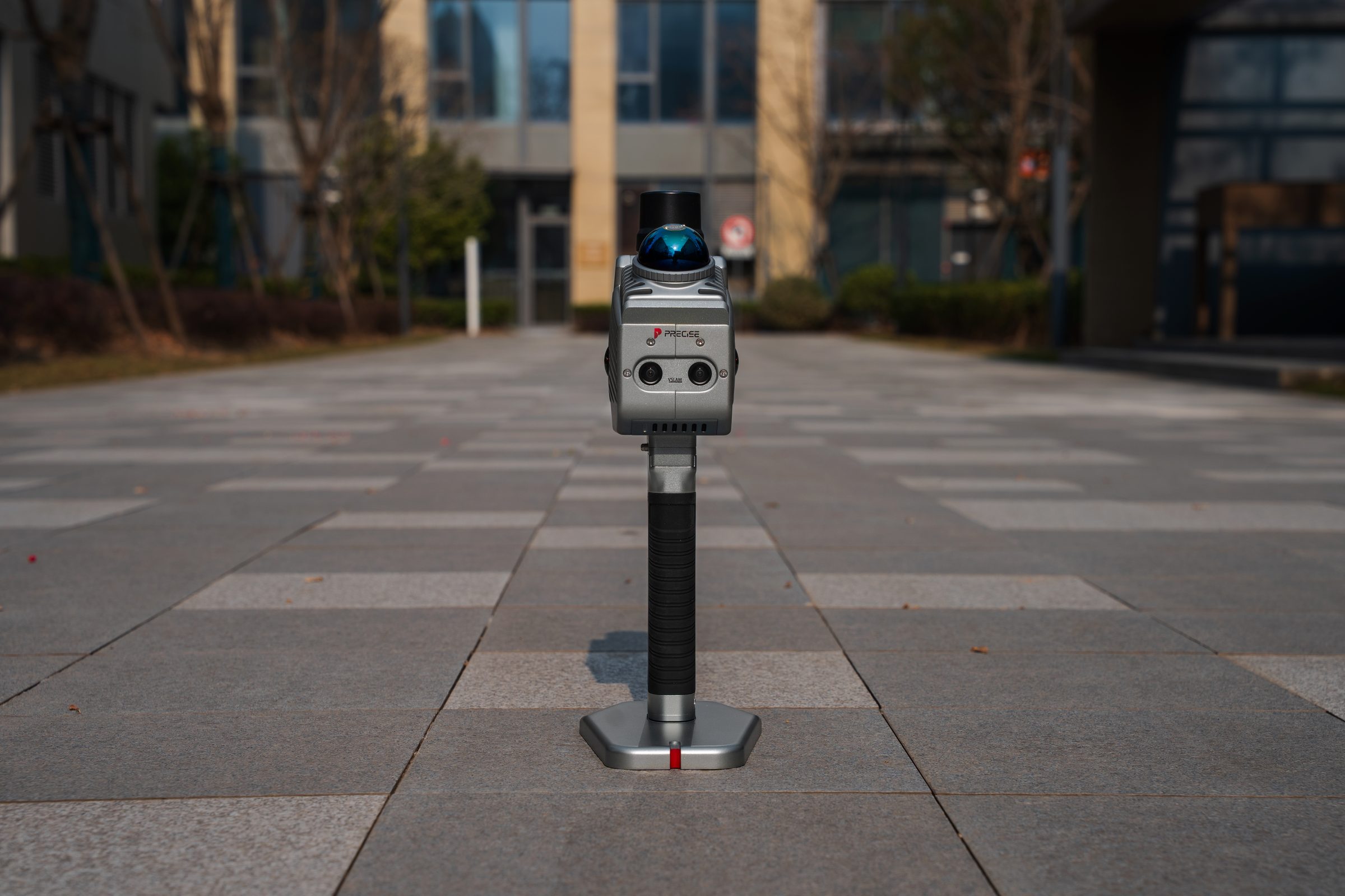
Dual imaging system dual 12 MP panoramic cameras improve scene reconstruction fidelity (PRECISE-reported: +11%); dual 1.3 MP visual SLAM cameras contribute to mapping stability (+9%) and mapping accuracy (+20%).
RTK module with a reported average fix rate of 99.9%. This describes the RTK module's GNSS fix reliability, not SLAM scanning or mapping accuracy, which is documented separately (absolute accuracy 5 cm real-time / <3 cm post-processing).
LiDAR core HMid360 laser sensor, 200,000 points/second, Class 1 (eye-safe), 905 nm, detection range 40 m @ 10% reflectivity / 70 m @ 80% reflectivity, 360° horizontal FOV with −7° to 52° vertical FOV.
Real-time processing and colorization true-color point cloud rendering happens during capture, so data is export-ready immediately after the scan.
Multi-mode positioning CORS mode, network RTK base station mode, and PPK mode.
Supporting software Process Pro, an intelligent 3D feature-extraction and analysis platform for mobile LiDAR point cloud and imagery data, covering surveying, architectural drawing, road/rail inspection, urban forestry, digital twin, and HD map production.
Technical Specifications
Full Spec Sheet
System Parameters
LiDAR Sensor
Camera System
RTK Module
Mapping & Output
IMU
How It Works
From Setup to Result
Walk the Space
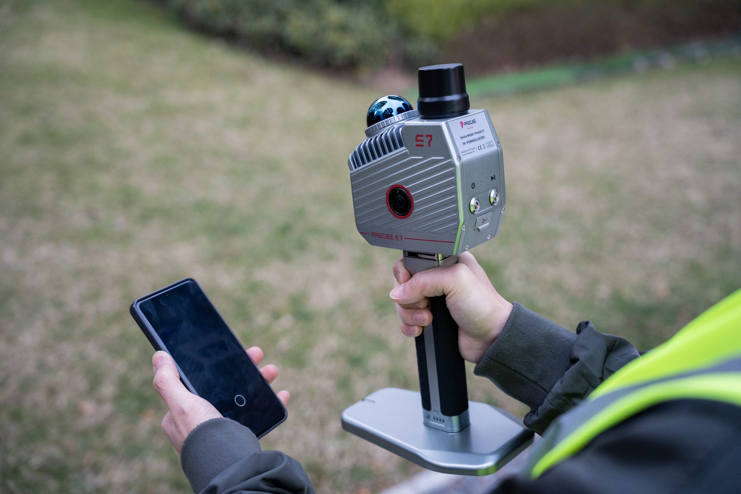
The operator walks through the site carrying S7 (handheld or with the frontpack kit); MLF-SLAM fuses LiDAR, IMU, and dual visual SLAM camera data in real time to build a continuously tracked trajectory.
Capture Geometry and Imagery Together
LiDAR (200,000 pts/s) builds the point cloud while dual 12 MP panoramic cameras capture true-color imagery in sync, both referenced to the same trajectory.
Anchor to Real-World Coordinates
The onboard RTK module, via CORS, network RTK, or PPK, ties the SLAM-generated point cloud to absolute project coordinates (optional, recommended for survey-grade deliverables).
Preview and Export in Real Time
Real-time processing renders a true-color point cloud during capture, so data is ready for export as soon as the scan ends, no separate colorization step required before initial review.
Process Into Deliverables
Process Pro (PC software) takes the exported point cloud and imagery through classification, registration, feature extraction, and format conversion for GIS, CAD, BIM, or digital twin use, with additional professional modules (such as LiDAR360's forestry toolset) available for specific project types.
FAQ
Common Questions
Yes. This is what MLF-SLAM is specifically built for. By fusing LiDAR, dual visual SLAM cameras, and IMU into one localization solution, S7 doesn't depend on any single sensor to maintain tracking, which is why PRECISE cites stable performance in weak-feature and featureless environments such as open fields, beaches, and reclamation areas.
No. The 99.9% figure describes the RTK module's average GNSS fix rate, how reliably it resolves a fixed satellite position, under good conditions. It is not the accuracy of the SLAM scan or point cloud. S7's scanning/mapping accuracy is documented separately: absolute accuracy is 5 cm in real-time or under 3 cm post-processing, with relative accuracy under 2 cm.
No. MLF-SLAM operates independently of GNSS, which is why S7 can scan underground parking structures, tunnels, and other GNSS-denied environments. The RTK module is used when you want the resulting point cloud referenced to absolute real-world coordinates rather than a locally consistent (relative) coordinate system.
S7 pairs with Process Pro (PC software) for point cloud classification, registration, feature extraction, and export to GIS/CAD/BIM-compatible formats. Additional professional modules, such as the LiDAR360 forestry toolset used for tree count, height, and species extraction, are available separately depending on your project's processing needs.
A single S7 scan can output a colored point cloud (LAS, LiDATA), mesh (LOD-OSGB), panoramic imagery (imglist + JPG), and 3D Gaussian Splatting data (lisplat, PLY). These are standard formats intended to integrate into mainstream GIS, CAD, and BIM workflows.
A single 3,450 mAh battery is rated for 2.5 hours of continuous scanning (tested at 20°C without camera recording or RTK connection). For larger sites, S7's IP64 rating and −30°C to 65°C operating range support extended field sessions across multiple battery swaps.
The HMid360 LiDAR operates at a 905 nm wavelength and is Class 1 (eye-safe) rated, meaning it is safe for use around personnel during normal operation.
Get in Touch
Talk to PRECISE About S7
Tell us about your project and we'll route it to the right PRECISE team.
- Sales: sales@precise-geo.com
- Support: support@precise-geo.com
Ready to see what S7 can capture on your next site?
Tell us about your project: the environment, the deliverable you need, and the scale of the site, and a PRECISE engineer will help you configure the right S7 setup, from RTK positioning mode to processing software.