
GNSS Receivers & Accessories
Measure Beyond the Point You Can Reach.
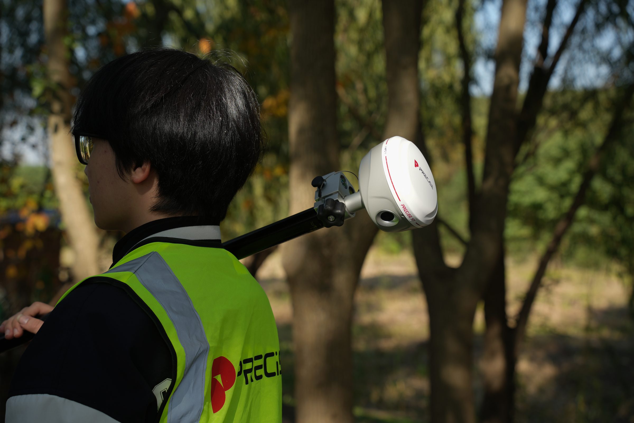
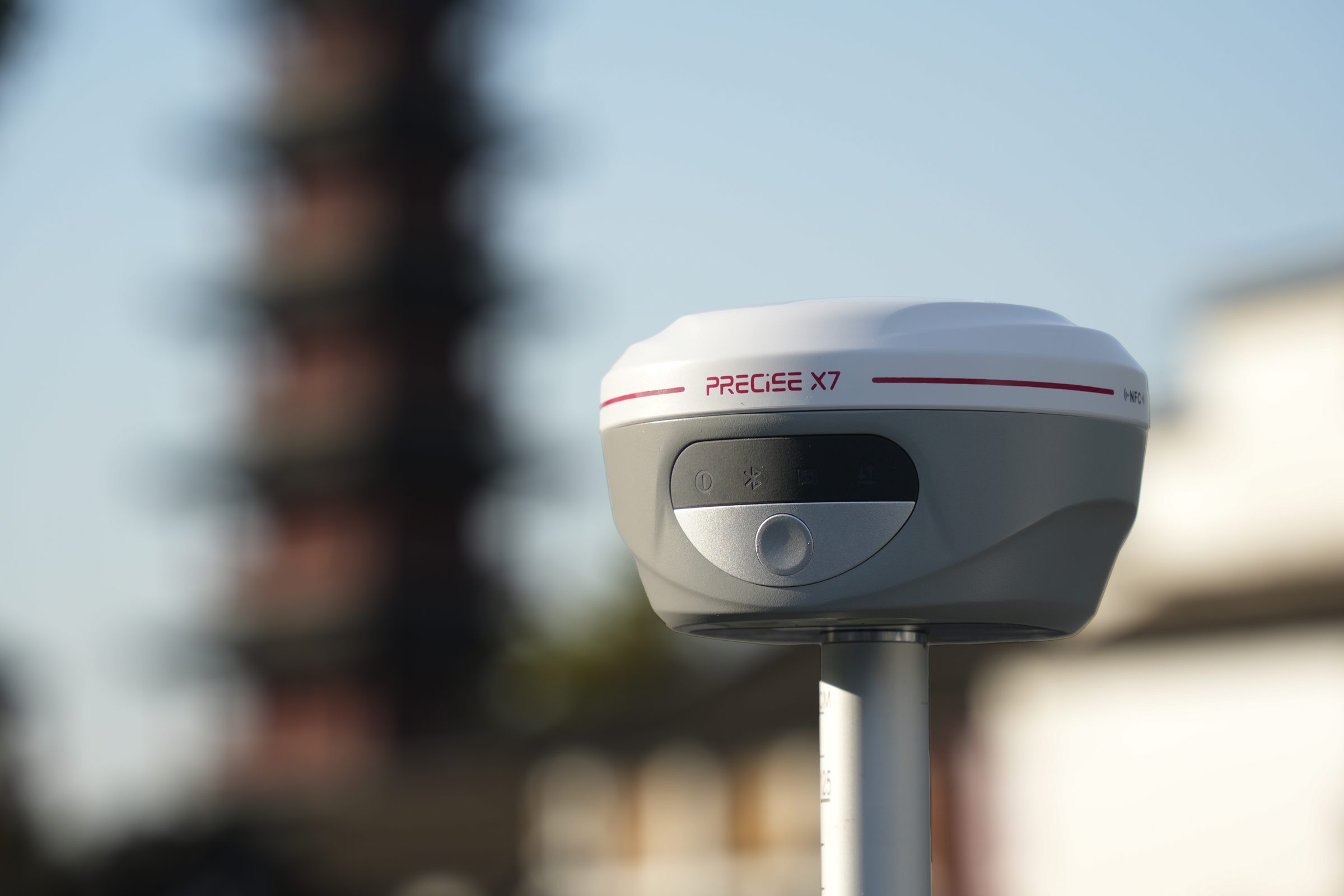
X7 combines RTK, a 70 m green laser, ±60° IMU tilt survey, and AR stakeout in one receiver, for points across a ditch, up a wall, or near a hazard a standard pole can't occupy.
See It In Action
X7 in the Field
One receiver, four ways to reach the point: RTK, laser, tilt survey, and AR stakeout in a single device.
Challenge
Field points don't come in one shape: some are directly occupiable, some sit across a ditch or hazard, some are on a slope where the pole can't stand vertical, and some need to be staked back out rather than just measured.
Solution
X7 runs RTK, a 70 m green laser, ±60° IMU tilt survey, and AR stakeout on one MATRIX positioning core, so switching between them is a mode change, not an equipment change or a re-initialization.
Value
Fewer equipment swaps, fewer trips back to the truck, and a measurement path for nearly every point condition on site with one device.
Key Benefits
Why X7
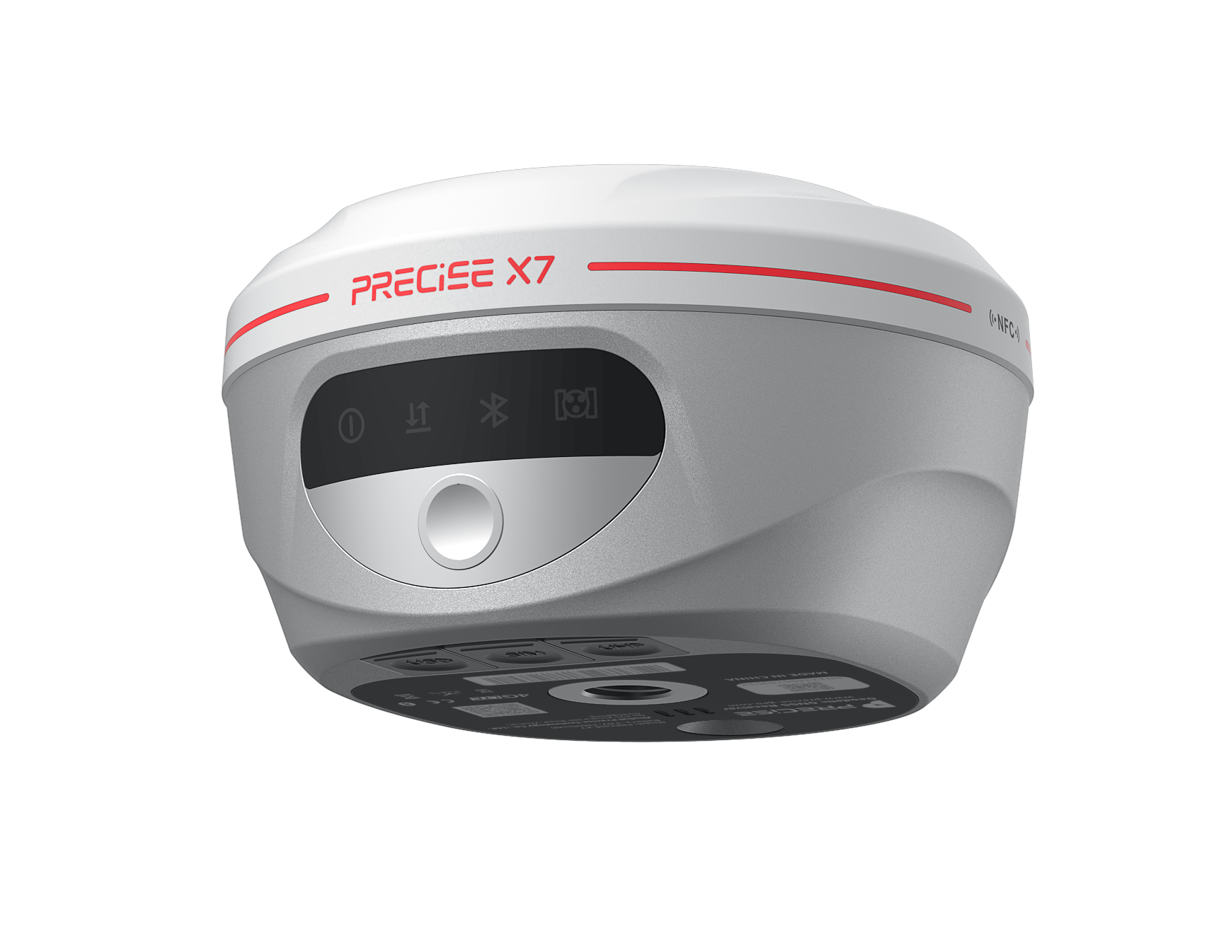
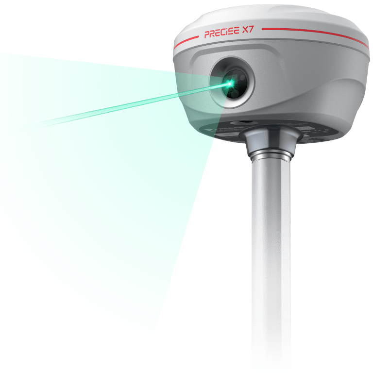
70 m green laser
Laser Measurement
Measure points across a ditch, up a wall, or near a hazard without occupying the point directly.
0m
Laser Survey Distance
<0.0cm
Accuracy Within 30 Meters
Class 1 (IEC 60825-1) green laser at 520-532 nm, about 6x more visible in daylight than a standard red laser; accuracy better than 2.5 cm within 30 m under normal conditions.
±60° IMU tilt compensation
Tilt Survey
Measure without leveling the pole every time, even around obstacles.
<0cm
Accuracy Within Tilt Range
±0°
IMU Tilt Angle
No field calibration, resistant to magnetic interference, ready within seconds, with continuous dynamic compensation; accuracy better than 2 cm within the rated tilt range.
Camera-overlay guidance
AR Stakeout
See the design point overlaid on the live camera view for faster, more intuitive stakeout.
0cm
AR Alignment Accuracy
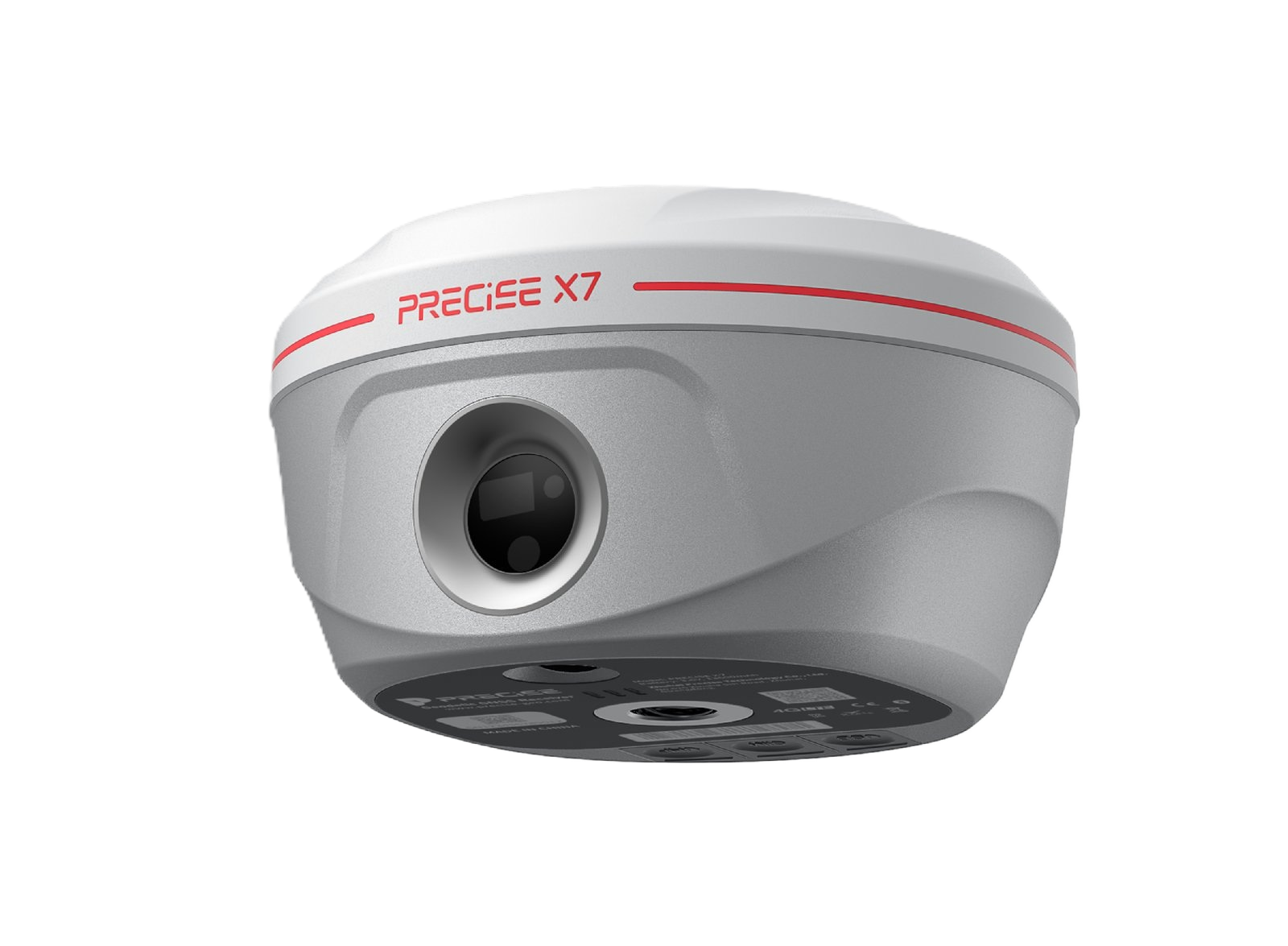
Dual HD wide-angle cameras plus IMU overlay the design point onto the live scene at about 2 cm alignment accuracy; final coordinate accuracy still depends on the underlying RTK fix.
One receiver, four measurement modes
Multi-Mode Switching
Switch between RTK, laser, tilt, and AR stakeout as the point condition changes, without swapping devices or starting a new session.
0
Measurement Modes, One Receiver
All four modes share the same MATRIX positioning core and active session, so changing mode doesn't mean re-initializing.

Applications
Where It's Used
Customers
What Our Customers Are Saying
Lucas Martín
Argentina
“The Laser Survey feature on the PRECISE X7 has made our site measurements faster and more accurate than ever. It's like pointing and locking onto success every time.”
Sergey Petrov
Russia
“The Tilt Survey capability saves me so much time. I don't have to level the pole perfectly anymore, measurements stay precise even when the rover is tilted.”
Thanaporn Wichai
Thailand
“PRECISE X7's Laser Survey function works flawlessly under bright sunlight and in rugged terrains. Our efficiency has increased dramatically.”
Ahmed Al-Mansoori
United Arab Emirates
“Laser Survey technology of the PRECISE X7 enables fast, one-person operations even on large construction sites. We've cut survey times by nearly 40%.”
Technical Highlights
Engineered Detail
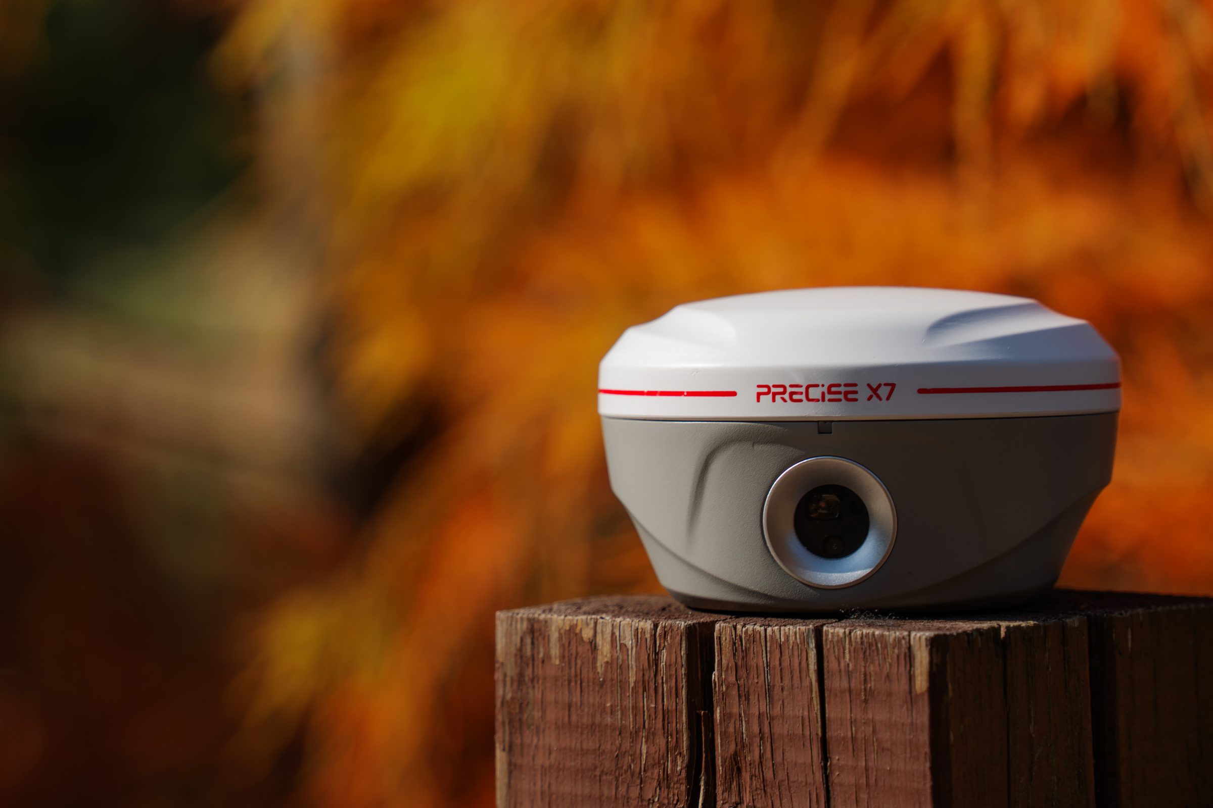
1,920-channel multi-constellation GNSS tracking (GPS, GLONASS, BeiDou, Galileo, QZSS, SBAS)
MATRIX positioning engine, 99.9% average fix rate under normal field conditions
Green laser at 520-532 nm, Class 1 (IEC 60825-1), about 6x more visible in daylight than a standard red laser
≤ 0.2 mrad beam divergence for a beam spot under 3 mm at 15 m, about 5x tighter than a typical red laser
AR stakeout guided by dual HD wide-angle cameras and IMU, no separate layout device needed
IP68-rated housing, -45°C to +75°C operating range
Built-in 4G-LTE, Wi-Fi, Bluetooth, and 2 W UHF radio
Technical Specifications
Full Spec Sheet
GNSS
IMU Feature
Data Format
Function
Physical
Storage
Power Supply
Communication
Camera
Laser Tilt Measurement
Photogrammetry
How It Works
From Setup to Result
Get a Fix
Power on and connect to an RTK correction source: network RTK, CORS, or a PRECISE base station. The MATRIX positioning engine targets a 99.9% average fix rate under normal field conditions.
Read the Point
For a directly occupiable point, measure with standard RTK.
Work Around an Obstruction
If the pole can reach but can't stand vertical, such as on a slope or ditch edge, use IMU tilt survey up to ±60° without releveling. If the point can't be reached at all, switch to the 70 m green laser to measure from a distance.
Stake Out
Use AR stakeout's camera overlay and IMU guidance to walk directly to a design location instead of reading raw coordinates.
Verify
Confirm the fix quality on-screen and log the point, with a saved photo record for the field report.
Watch & Learn
Setup, Features, and Unboxing
How to Set Up and Use the PRECISE X7 | Complete RTK Workflow
A complete walkthrough of the RTK workflow on X7, from power-on to a logged point.
Take a Look at the Advantages of PRECISE X7 with Green Laser
Field demonstration of the green laser's visibility and reach compared to a standard red laser.
PRECISE X7 Introduction
A short overview of what X7 is built to do across RTK, laser, tilt, and AR stakeout.
Feature Setup: PRECISE X7 — Built-in & External Radio
Setting up X7 with both built-in and external radio options, and switching between them in the field.
Feature Setup: PRECISE X7 — NFC, Bluetooth & Wi-Fi
How to pair X7 over NFC, Bluetooth, and Wi-Fi for quick, wireless data transfer.
How to Set Up the PRECISE X7 as a Base Station
Configuring one X7 as a base and a second unit as rover for a base-and-rover RTK setup.
PRECISE X7 Unboxing Video
What's in the box when a new PRECISE X7 arrives, case and all.
FAQ
Common Questions
For many stakeout and measurement tasks, yes, but a total station remains the right tool for very long-range or highest-precision angular work. X7 is built to reduce, not eliminate, the cases where you'd need one.
Better than 2.5 cm within 30 m under normal conditions. Accuracy decreases with range and can be affected by reflective surfaces and lighting.
Yes, X7 pairs with PRECISE field controllers (such as PC3) and supports common third-party survey software over Bluetooth.
Built-in 4G, Wi-Fi, Bluetooth, and UHF radio, so it can receive corrections via cellular network or a local base station.
X7 carries an IP68 rating for dust and water resistance suitable for normal field conditions.
Get in Touch
Talk to PRECISE About X7
Tell us about your project and we'll route it to the right PRECISE team.
- Sales: sales@precise-geo.com
- Support: support@precise-geo.com
See X7 on Your Next Job.
Talk to our team about matching X7 to your survey and stakeout workflow.