
GNSS Receivers & Accessories
Stop re-leveling the pole for every point.
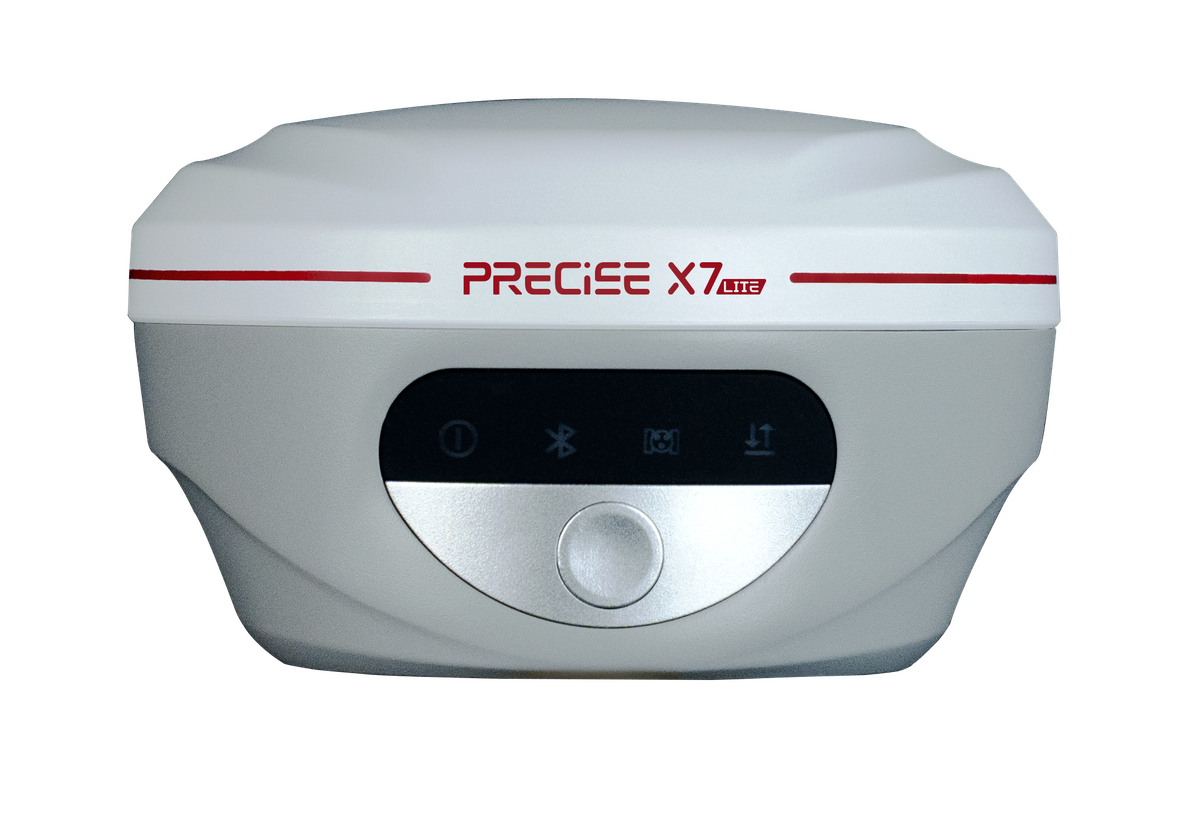
PRECISE X7 Lite delivers calibration-free ±60° tilt survey, a full communication toolkit (4G, Wi-Fi, built-in UHF radio), and up to 20 hours of rover runtime, a complete professional RTK receiver for teams whose daily work is standard survey and stakeout, not laser or AR.
See It In Action
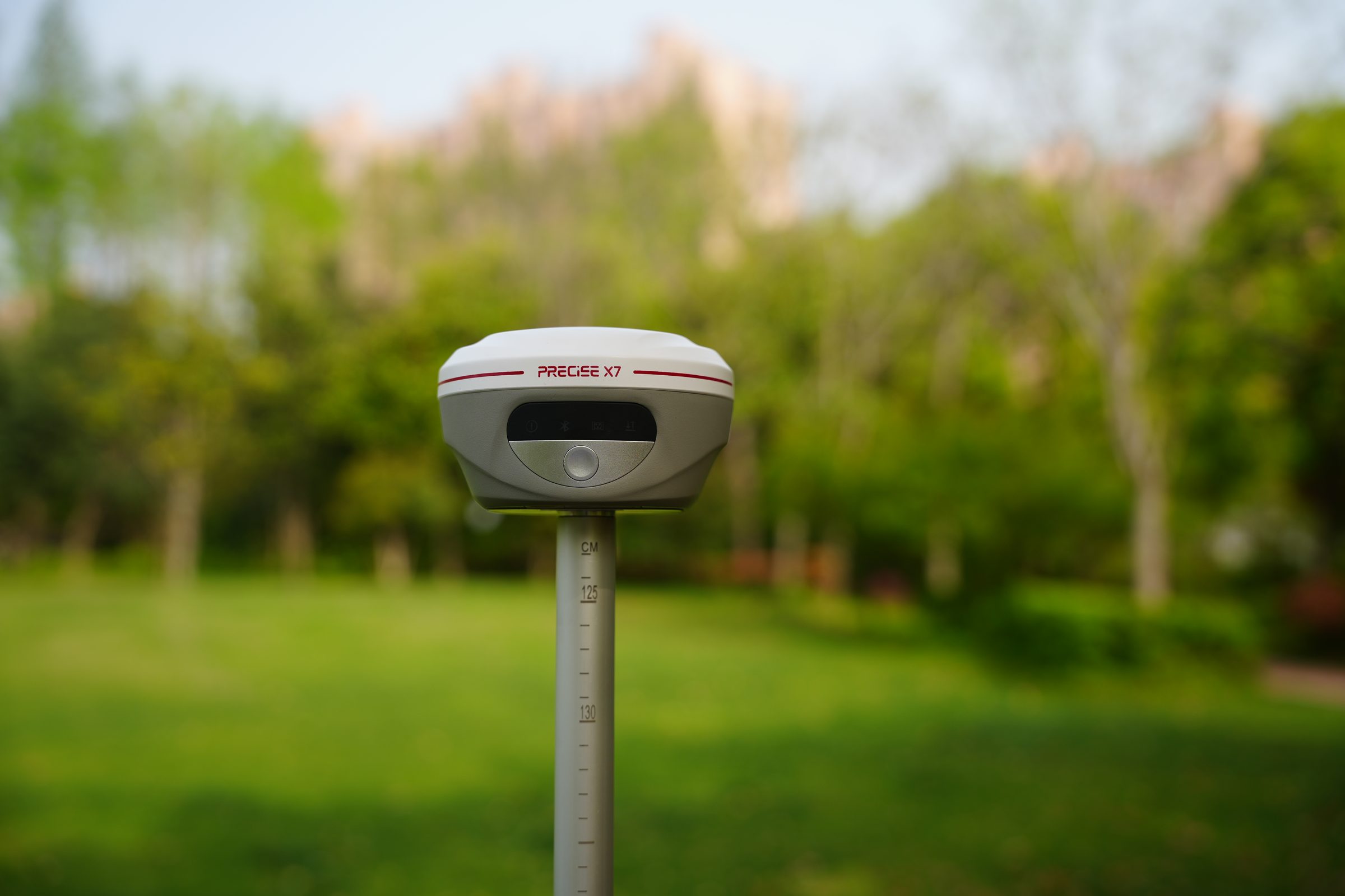
X7 Lite in the Field
A focused RTK receiver built around one job: reliable tilt survey, full-day battery, and the flexibility to work as a network rover, radio rover, or local base, without carrying extra gear.
Challenge
Most day-to-day RTK work isn't about reaching an unreachable point. It's about doing standard survey and stakeout, over and over, without the job slowing you down. The two most common sources of friction are simple: the pole won't stay vertical at every point (walls, curbs, slopes, ditches, manholes, roadside furniture), and the receiver doesn't always have a way to get correction data: CORS coverage is patchy, a project needs its own local base, or the crew is working a full day without easy access to a charger.
Solution
X7 Lite is built around three things a working RTK crew uses constantly: calibration-free tilt survey up to ±60°, a full connectivity set that lets it work as a network rover, radio rover, or local base depending on what the site has, and a 20-hour battery that keeps pace with a full field day.
Value
One receiver that stays in professional RTK mode all day: fewer interruptions for re-leveling, fewer dead ends when there's no network coverage, and fewer mid-day battery swaps.
Key Benefits
Why X7 Lite
Calibration-Free IMU Tilt
Tilt survey that's ready the moment you power on
Points next to walls, curbs, slopes, ditches, and manholes (anywhere a pole can't stand vertical) get measured in the same motion as any other point.
±0°
Tilt Measurement Range
<0cm
Tilt Survey Accuracy
Tilt measurement up to ±60° with better than 2 cm accuracy within that range, requiring no field calibration and resisting magnetic interference. Real-time dynamic compensation with no re-acquire pause; initialization completes in seconds.
Multi-Mode Connectivity
Work as a network rover, radio rover, or local base
Work as a network rover where CORS/NTRIP coverage is reliable, or switch to the built-in radio (as rover or base) where it isn't.
0W
Built-in UHF Radio Power
410-470MHz
UHF Radio Frequency Range
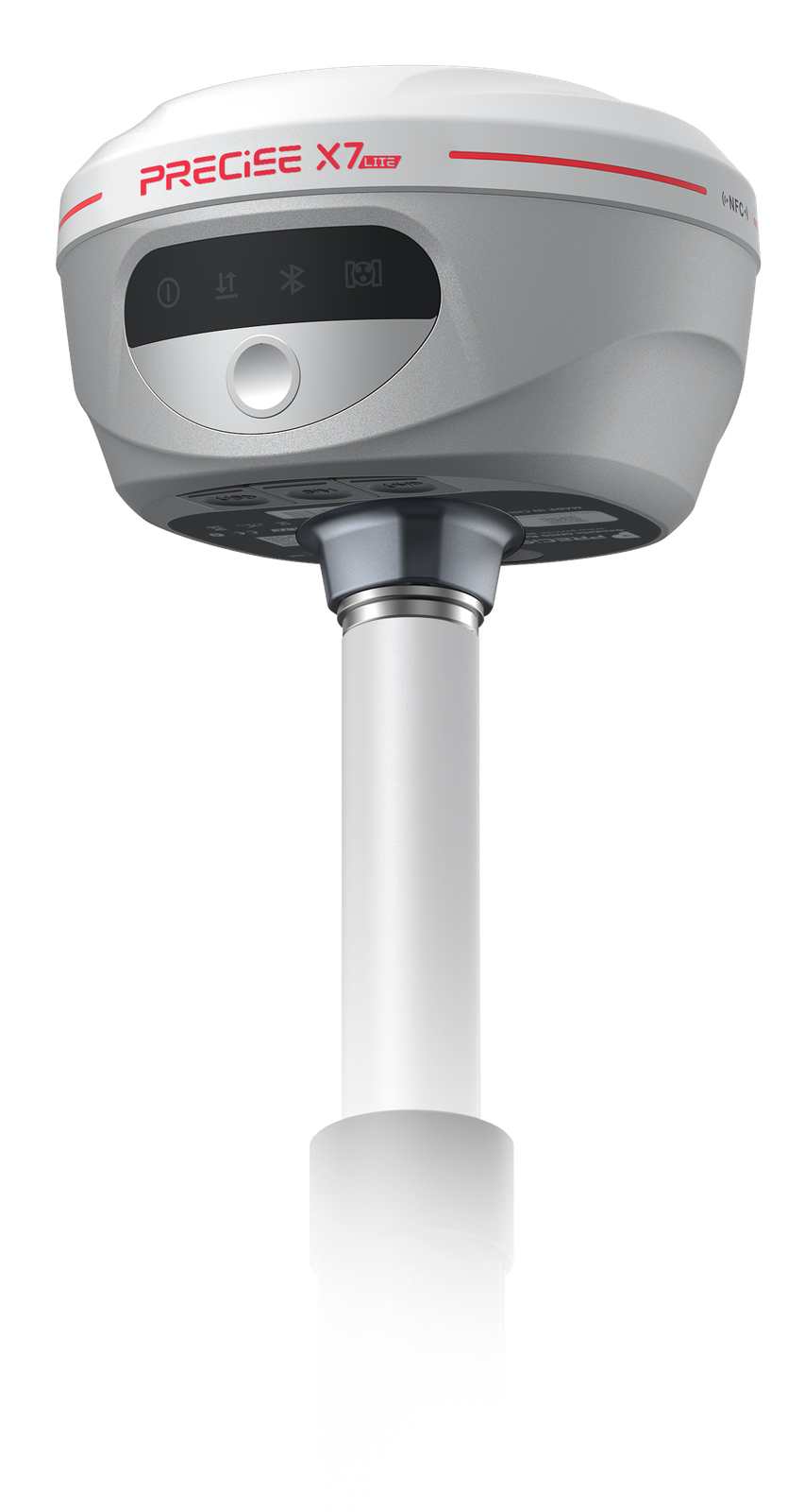
Includes 4G, Wi-Fi, Bluetooth, NFC, and a built-in 2W UHF transceiver (410–470 MHz) supporting common radio protocols (TRIMTALK450s, SOUTH, TRIMMARK III, SATEL, LoRa). Radio and cellular modem are both built in, so switching modes is a configuration change, not a hardware swap.
20-Hour Battery Life
A battery that lasts the working day
A full day of fieldwork (or longer on remote or multi-day projects) without mid-day battery swaps or planning around a charge cycle.
0hrs
Rover/CORS Mode Battery Life
0mAh
Battery Capacity
7.4V, 7,000 mAh battery delivering up to 20 hours in rover or CORS mode and approximately 7.5 hours in base mode, with support for external USB power and power banks.
IP68 Rugged Durability
Built for full-day carry and real field conditions
Light enough to carry on the pole all day, and durable enough for the drops, dust, and weather of construction and outdoor fieldwork.
IP0
Dust & Water Protection Rating
0.0m
Drop Resistance (With Pole)
0.76 kg, IK08 impact resistance, rated for a 1.8 m drop with the pole attached, operating range of −45°C to +75°C.
Applications
Where It's Used
Customers
What Our Customers Are Saying
Rajiv Kumar
India
“The PRECISE X7 Lite is perfect for our fieldwork. It delivers accurate results without unnecessary complexity, and the Tilt Survey keeps our data precise even on rough terrain.”
Miguel Torres
Mexico
“We upgraded to X7 Lite for its simplicity and value. The Tilt Survey is a game changer for uneven sites.”
Yusuf Al-Farsi
Oman
“For our rural projects, X7 Lite is unbeatable. It's robust, accurate, and doesn't burden our budget.”
Alexei Ivanov
Russia
“Our team loves the X7 Lite for its precision and simplicity. Tilt Survey ensures accuracy even on sloped terrain.”
Technical Highlights
Engineered Detail
Calibration-Free IMU Tilt Sensing. X7 Lite's IMU is designed around one goal: removing the friction of tilt survey. No field calibration routine, resistance to magnetic interference from nearby vehicles or structures, and initialization in seconds rather than minutes, so tilt survey is available from the first point of the day, not after a setup procedure.
Full-Spectrum Field Communication. Rather than being built for one correction method, X7 Lite carries 4G, Wi-Fi, Bluetooth, NFC, and a built-in 2W UHF transceiver in one unit. This means the receiver adapts to the project's actual connectivity: network RTK where coverage exists, radio RTK where it doesn't, instead of requiring a different receiver or add-on hardware for each scenario.
1,408-Channel Multi-Constellation GNSS with MATRIX Positioning. X7 Lite tracks GPS, GLONASS, BeiDou, Galileo, QZSS, and SBAS across 1,408 channels, with MATRIX positioning technology delivering a 99.9% fix rate for dependable positioning across varied field conditions. (Fix rate and accuracy can be affected by multipath, obstructions, satellite geometry, and atmospheric conditions.)
Technical Specifications
Full Spec Sheet
GNSS
Positioning Accuracy
Communication
Physical & Power
How It Works
From Setup to Result
Power on
The IMU is ready within seconds, no field calibration required.
Choose your correction source
Connect to a CORS/NTRIP network over 4G or Wi-Fi, or receive corrections from a local UHF base, or set X7 Lite itself up as that base.
Survey normally, and through tilted points, without switching modes
The IMU compensates for tilt up to ±60° in real time, so obstructed points don't require a separate procedure.
Log static or PPK data when the project calls for post-processing
rather than real-time RTK.
Keep working through the day
on a single charge, with power-bank support if the job runs long.
FAQ
Common Questions
X7 Lite is not a stripped-down X7. It's built for teams whose work is standard RTK survey and tilt measurement, without a need for laser survey or AR stakeout. It shares the same reliability foundation as X7 (MATRIX positioning, calibration-free IMU, IP68/IK08 durability) but is configured around tilt survey, full connectivity, and long battery life rather than laser and AR. Choose based on whether your fieldwork regularly needs to measure points you can't physically reach with a pole (X7) or whether standard RTK and tilt survey cover your day-to-day work (X7 Lite).
The built-in IMU enables tilt survey without leveling the pole. It delivers better than 2 cm accuracy within 60° of tilt, supports a ±60° IMU range with real-time dynamic compensation, and requires no calibration and no static re-acquisition, useful for slopes, ditches, manholes, and roadside infrastructure.
X7 Lite carries a 7.4V, 7,000 mAh battery. In rover or CORS mode, battery life is up to 20 hours. Base mode provides approximately 7.5 hours. External power via USB Type-C and power-bank support are both available for extended fieldwork.
Yes. It's rated IP68 for dust and water resistance, IK08 for impact resistance, and survives a 1.8 m drop with the pole attached. Operating temperature spans −45°C to +75°C.
Both. The built-in 2W UHF transceiver and full connectivity set (4G, Wi-Fi, Bluetooth, NFC) let X7 Lite operate as a network rover, a radio rover receiving corrections from a local base, or as the base station itself, whichever the project needs.
X7 Lite tracks 1,408 GNSS channels across GPS (L1/L2/L5), GLONASS (L1/L2), BeiDou (B1I/B2I/B3I/B1C/B2a/B2b), Galileo (E1/E5a/E5b/E6), QZSS (L1/L2/L5/L6), and SBAS.
Get in Touch
Talk to PRECISE About X7 Lite
Tell us about your project and we'll route it to the right PRECISE team.
- Sales: sales@precise-geo.com
- Support: support@precise-geo.com
See X7 Lite on Your Next Job.
Talk to our team about matching X7 Lite to your survey and stakeout workflow.